Bandido Group Campground
Acton, California · 5,833 ft · In Angeles National Forest
Photos: David J. Cline
At a glance
5 of 8 facts known · recreation.gov, checked Sep 24, 2026
- Elevation
- 5,833 ft (1,778 m)5,833 ft1,778 m
Sites5
Bandido Group Campground lists no loops, so its sites are listed here. Pick a site to see its details.
From recreation.gov's site list, Oct 10, 2026.
Amenities
From OpenStreetMap, Recreation.gov, Recreation.gov — campground rate cards · Correct
- Campfires allowed
From OpenStreetMap, Recreation.gov, Recreation.gov — campground rate cards
You could be the first camper hereYou could be the first camper on this page
Stayed here? Share what the next camper should know.
Free account · no email needed to browse
About
Overview
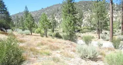
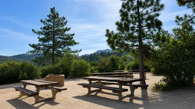
Located along Santa Clara Divide Road in the Angeles National Forest, Bandido Group Campground sits among fragrant Jeffrey pines in the upper montane zone of the San Gabriel Mountains National Monument. At approximately 5,840 feet in elevation, the campground offers a cool mountain reprieve with convenient access to hiking, horseback riding, mountain biking, and scenic drives. Designed primarily for organized and equestrian groups, Bandido provides a peaceful base camp for exploring the surrounding mountains while remaining within easy driving distance of the Los Angeles Basin. Water is not available at the campground; visitors must bring enough water for drinking, extinguishing campfires, cooking, cleaning, and caring for livestock for the duration of their stay.
Recreation
Bandido serves as an ideal base camp for exploring the surrounding San Gabriel Mountains. Nearby trails and Forest Service roads provide opportunities for hiking, horseback riding, mountain biking, trail running, wildlife viewing, nature photography, and scenic driving. The nearby Pacific Crest National Scenic Trail offers access to one of the nation's premier long-distance trails, while the Angeles Crest Highway provides convenient access to numerous trailheads, scenic overlooks, and other recreational opportunities. Because water is not available at the campground, visitors should plan accordingly and bring sufficient water for riders and horses.
From OpenStreetMap, Recreation.gov, and Recreation.gov — campground rate cards · · Edit
Cell service
Report signalFCC map: no coverage reported
- VerizonNo coverage on FCC map
- AT&TNo coverage on FCC map
- T-MobileNo coverage on FCC map
Cell service at Bandido Group Campground: FCC map Dec 2025
Weather
National Weather Service
- TueSunny50°42°
- WedSunny61°49°
- ThuSunny62°54°
- FriSunny65°52°
- SatSunny64°50°
Nearby camping
SeeSee all on the map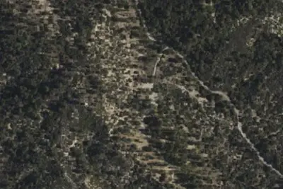
Bandido Group Campground
Public Land · under 100 ft · Acton
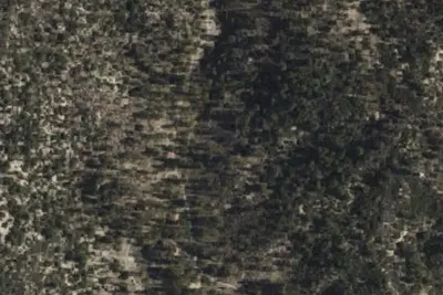
Horse Flat Campground
Public Land · 0.3 mi · Acton
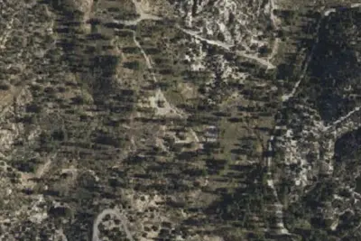
Meadow Group Camp
Public Land · 1.4 mi · Monrovia
3 more within 25 mi
3 OpenStreetMap entries in Acton share one park. They may be individual sites of a single campground. Suggest a merge
Dispersed camping nearby
Free dispersed camping within 19 mi, on public land.
- 1.9 mi
Camp site
Acton, CA · On U.S. Forest Service land · Angeles National Forest
- 2.3 mi
Camp site
Acton, CA · On U.S. Forest Service land · Angeles National Forest
- 3.1 mi
Pacifico Mountain Campground
Acton, CA · On U.S. Forest Service land · Angeles National Forest
- 7.3 mi
Devore Trail Camp
Monrovia, CA · On U.S. Forest Service land · Angeles National Forest
- 8.3 mi
Big Buck Trail Camp
Acton, CA · On U.S. Forest Service land · Angeles National Forest
- 10 mi
Mt. Lowe Trail Camp
Altadena, CA · On U.S. Forest Service land · Angeles National Forest
Location and contact
Data from OpenStreetMap, Recreation Information Database (RIDB) / Recreation.gov, Recreation.gov — campground rate cards
Something wrong here? Suggest an edit
Run this campground? Claim the listing