Coulter Group Campground
Monrovia, California · 5,318 ft · In Angeles National Forest
Photos: David J. Cline
Photos taken nearby
From Wikimedia Commons, taken close to this campground — not necessarily pictures of it.
At a glance
5 of 8 facts known · recreation.gov, checked Sep 24, 2026
- Elevation
- 5,318 ft (1,621 m)5,318 ft1,621 m
Sites1
Coulter Group Campground lists no loops, so its sites are listed here. Pick a site to see its details.
All 1 shown · by site number
From recreation.gov's site list, Oct 10, 2026.
Amenities
You could be the first camper hereYou could be the first camper on this page
Stayed here? Share what the next camper should know.
Free account · no email needed to browse
About
Overview
Nestled within the San Gabriel Mountains National Monument, Coulter Group Campground offers a secluded forest setting ideal for family reunions, youth groups, scout troops, and other organized gatherings. Located within the Chilao Recreation Area at approximately 5,200 feet in elevation, the campground provides a peaceful mountain retreat with convenient access to hiking, horseback riding, mountain biking, scenic drives, and other recreational opportunities. The campground accommodates groups of up to 50 people and offers a private camping experience while remaining just minutes from the Chilao Visitor Center and Angeles Crest Scenic Byway. A potable water spigot (Woodford hydrant) is available within the campground, providing a convenient source of drinking water throughout the stay.
Recreation
Coulter Group Campground serves as an excellent base camp for exploring the many recreational opportunities found throughout the Chilao Recreation Area. The nearby Silver Moccasin Trail is open to hiking, horseback riding, and mountain biking and connects with the Pacific Crest National Scenic Trail, offering opportunities for day hikes or extended backcountry adventures. Additional Forest Service roads and trails throughout the area provide opportunities for wildlife viewing, bird watching, photography, trail running, scenic driving, and exploring the diverse landscapes of the San Gabriel Mountains National Monument.
From OpenStreetMap, Recreation.gov, and Recreation.gov — campground rate cards · · Edit
Cell service
Report signalFCC map: no coverage reported
- VerizonNo coverage on FCC map
- AT&TNo coverage on FCC map
- T-MobileNo coverage on FCC map
Cell service at Coulter Group Campground: FCC map Dec 2025
Weather
National Weather Service
- TueSunny57°47°
- WedSunny67°55°
- ThuSunny69°57°
- FriSunny72°55°
- SatSunny70°54°
Nearby camping
SeeSee all on the map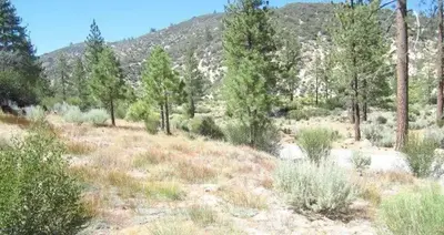
Meadow Group Campground
Public Land · 400 ft · Monrovia
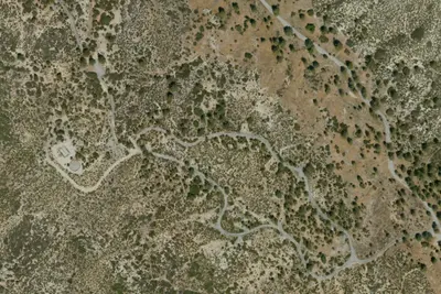
Camp site
Campground · 0.1 mi · Monrovia
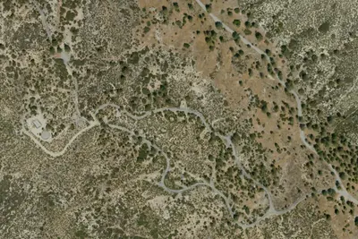
Camp site
Campground · 0.1 mi · Monrovia
3 more within 25 mi
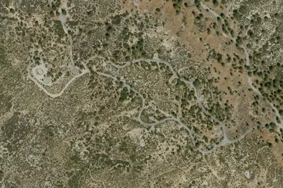
5 OpenStreetMap entries in Monrovia share one park. They may be individual sites of a single campground. Suggest a merge
Dispersed camping nearby
Free dispersed camping within 19 mi, on public land.
- 3.5 mi
Camp site
Acton, CA · On U.S. Forest Service land · Angeles National Forest
- 3.6 mi
Camp site
Acton, CA · On U.S. Forest Service land · Angeles National Forest
- 4.2 mi
Pacifico Mountain Campground
Acton, CA · On U.S. Forest Service land · Angeles National Forest
- 5.6 mi
Devore Trail Camp
Monrovia, CA · On U.S. Forest Service land · Angeles National Forest
- 8.3 mi
Big Buck Trail Camp
Acton, CA · On U.S. Forest Service land · Angeles National Forest
- 8.5 mi
Mt. Lowe Trail Camp
Altadena, CA · On U.S. Forest Service land · Angeles National Forest
Location and contact
Data from OpenStreetMap, Recreation Information Database (RIDB) / Recreation.gov, Recreation.gov — campground rate cards
Something wrong here? Suggest an edit
Run this campground? Claim the listing