Little River Canyon National Preserve
134 nearby · 15 free and dispersed sites within 50 mi
Photo: NPS Photo
1 current alert
As of Sep 20, 2026 · from nps.gov
- DangerSEASONAL SAFETY MESSAGEBe careful and safe while out in the canyon! Be cautious of your surroundings, don't cliff jump, don't stray off of the main trails, and don't get too close to Little River Falls or the canyon rim. These activities could result in injury or death.
At a glance
- Entrance
- $15 per vehicle
- Near the park
- 134 campgroundsWithin 50 mi
- Free and dispersed
- 15 sitesWithin 50 mi
- Annual pass
- $35Little River Canyon only
Where to camp
Camping near the park 134
- Aerial viewCampground
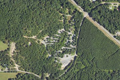
Little River RV Park and Campground
2.1 mi · Fort Payne, AL
- Aerial viewState Park
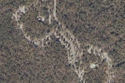
Desoto State Park Improved Campground
6.0 mi · Fort Payne, AL
Free and dispersed nearby 15
See them on the map- Oakey Trail Shelter SiteEdwardsville, AL36 mi
- Choccolocco Trail Shelter SiteEdwardsville, AL36 mi
- Camp siteDalton, GA38 mi
- North Dugger Trail Shelter SiteEdwardsville, AL38 mi
- Laurel Trail Shelter SiteEdwardsville, AL45 mi
- McNabb Gulf CampsiteChattanooga, TN47 mi
Services nearby: 4 dump stations · 8 rest areas
About Little River Canyon
Little River is unique because it flows for most of its length atop Lookout Mountain in northeast Alabama. Forested uplands, waterfalls, canyon rims and bluffs, pools, boulders, and sandstone cliffs offer settings for a variety of recreational activities…
Little River is unique because it flows for most of its length atop Lookout Mountain in northeast Alabama. Forested uplands, waterfalls, canyon rims and bluffs, pools, boulders, and sandstone cliffs offer settings for a variety of recreational activities. Natural resources and cultural heritage come together to tell the story of the Preserve, a special place in the Southern Appalachians.
Photos: NPS Photo
Things to do
- Auto and ATV
- Scenic Driving
- Biking
- Mountain Biking
- Road Biking
- Climbing
- Rock Climbing
- Fishing
- Freshwater Fishing
Plan your visit
Getting there
Little River Canyon National Preserve follows along the Little River and covers approximately 40 miles from the northeast corner to the southwest corner. The easiest way to access the park is by Alabama Highway 35 about…
Weather
The weather in Fort Payne, Alabama is mild. The average temperature in the winter is in the 50's. The average summer temperature is in the high 80's with high humidity. We receive about 55 inches of rain each year…
Plan your visit
Fees and passes
- Private vehicle$15
- Motorcycle, 1 days$15
- Little River Canyon annual pass$35
Hours
The main park is open during daylight hours every day including holidays.
Getting there
Little River Canyon National Preserve follows along the Little River and covers approximately 40 miles from the northeast corner to the southwest corner. The easiest way to access the park is by Alabama Highway 35 about 10 miles east out of Fort Payne, Alabama. Interstate 59 is the closest interstate.
Weather
The weather in Fort Payne, Alabama is mild. The average temperature in the winter is in the 50's. The average summer temperature is in the high 80's with high humidity. We receive about 55 inches of rain each year. Snowfall varies, but only lasts a few days per event.
Camped at Little River Canyon? You could be the first to say which site you'd pick again.
Reviews, photos and cell signal reports from real stays help the next camper choose.