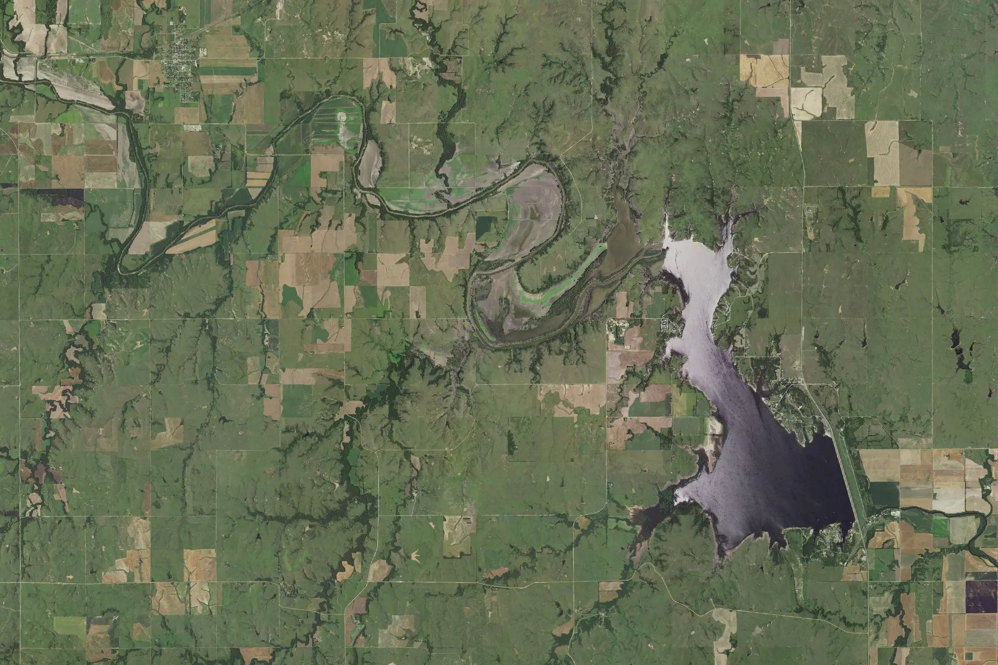
Aerial view
Recreation areaKansas
Kanopolis Recreation Area
2 campgrounds in the park · 34 nearby within 25 mi
At a glance
4 of 6 facts known · from the park boundary and our listings
- In the park
- 2 campgroundsplus 6 other places
- Area
- 21,212 acresfrom the park boundary
- Managed by
- U.S. Army Corps of Engineers
- Nearest town
- Marquette
In the park means inside the park's boundary. A campground listed once for each of its loops counts as one.
Been to Kanopolis Recreation Area?
You could be the first camper to add to this park. What you add shows here for the next camper.
2 campgrounds and 6 other places inside the boundary.
Open the mapPark boundary: USGS Protected Areas Database.
Campgrounds in Kanopolis Recreation Area 2
Compare in a table

Also inside the boundary: Camp site (single site) · Camp site (single site) · Camp site (single site) · Camp site (single site) · Camp site (single site) · Camp site (single site)
Camping near the park 34
See them on the mapWithin 25 mi of the park boundary, nearest first.
- Kanopolis State Park Sumac CampgroundMarquette, KSunder 100 ft
- Kanopolis State Park Sandyshore CampgroundKanopolis, KSunder 100 ft
- Kanopolis State Park Rockwall CampgroundKanopolis, KSunder 100 ft
- Kanopolis State Park Caving Banks CampgroundMarquette, KSunder 100 ft
- Kanopolis State Park Little Bluestem CampgroundMarquette, KSunder 100 ft
- Kanopolis State Park Rockin' K CampgroundKanopolis, KSunder 100 ft
Showing 6 of 34