City Of Rocks National Reserve
2 campgrounds in the park · 20 nearby · 1 free and dispersed site within 25 mi
Photo: NPS Photo
At a glance
- Open
- Year-round
- In the park
- 2 campgrounds
- Near the park
- 20 campgroundsWithin 25 mi
- Free and dispersed
- 1 siteWithin 25 mi
Where to camp
Camping in the park 2
Camping near the park 20
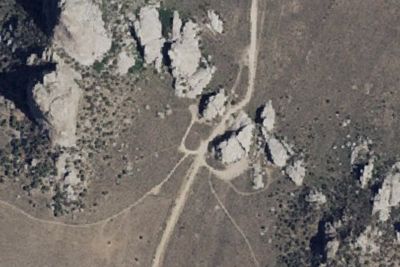
- Aerial viewCampground
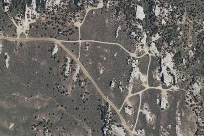
City of Rocks Campsites
0.2 mi · Oakley, ID
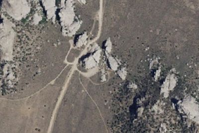
- Aerial viewCampground
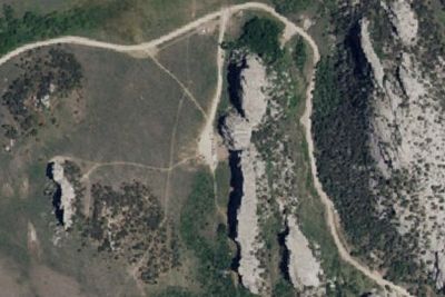
Bread Loaves Group Camp
1.5 mi · Oakley, ID
Free and dispersed nearby 1
See them on the mapServices nearby: 1 dump station
About City Of Rocks
Described by California Trail emigrants as “a city of tall spires,” “steeple rocks,” and “the silent city,” this awe-inspiring landscape continues to captivate. Today, it beckons rock climbers, hikers, campers, hunters, and adventurers with its dramatic…
Described by California Trail emigrants as “a city of tall spires,” “steeple rocks,” and “the silent city,” this awe-inspiring landscape continues to captivate. Today, it beckons rock climbers, hikers, campers, hunters, and adventurers with its dramatic scenery, fascinating geology, and echoes of the Old West. The Silent City is ready for you to explore.
Photos: NPS Photo
Things to do
- Auto and ATV
- Scenic Driving
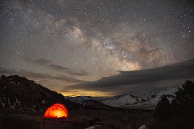
- Astronomy
- Stargazing
- Biking
- Mountain Biking
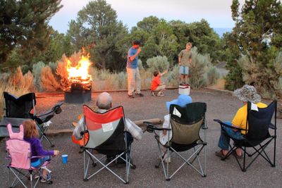
- Camping
- Backcountry Camping
- Car or Front Country Camping
Plan your visit
Getting there
From Boise: take I-84 East to exit 216 (Declo); go south on Highway 77 to Conner Creek Junction; turn right (west) on Highway 77 Spur to Almo. The visitor center and the park entrance are south of the post office and…
Weather
City of Rocks is located in south-central Idaho within the northern edge of the Basin and Range geologic province. Outdoor recreation can be pleasant from April through October. Summers are generally dry with 10 to 15…
Plan your visit
Hours
The National Reserve is open 365 days a year, 7 days a week, 24hrs/day. Many roads are not maintained during the winter and may become impassable from late November through May. For current conditions visitors are encouraged to check with the Visitor Center or watch for alerts on our website and social media.
Getting there
From Boise: take I-84 East to exit 216 (Declo); go south on Highway 77 to Conner Creek Junction; turn right (west) on Highway 77 Spur to Almo. The visitor center and the park entrance are south of the post office and businesses. From Pocatello: take I-86 West to I-84 West to exit 216 and proceed as above. From Salt Lake City: take I-84 west to exit 245 (Sublette), turn left and go west to Malta. From Malta take Highway 77. Take Highway 77 Spur to Almo.
Weather
City of Rocks is located in south-central Idaho within the northern edge of the Basin and Range geologic province. Outdoor recreation can be pleasant from April through October. Summers are generally dry with 10 to 15 inches of precipitation in winter and spring. Summer temperatures range widely with night time lows occasionally approaching freezing and midday highs nearing 100° F; however, the typical range of low and high temperature is 45-85. Thunderstorms are common in the summer months (June - August)
Camped at City Of Rocks? You could be the first to say which site you'd pick again.
Reviews, photos and cell signal reports from real stays help the next camper choose between City of Rocks Campground and Smoky Mountain Campground.