Zilpo Recreation Area
Farmers, Kentucky · 758 ft
Photos: USGS / USDA NAIP
At a glance
3 of 8 facts known · Forest Service data, checked Oct 3, 2026
- Elevation
- 758 ft (231 m)758 ft231 m
Amenities
You could be the first camper hereYou could be the first camper on this page
Stayed here? Share what the next camper should know.
Free account · no email needed to browse
About
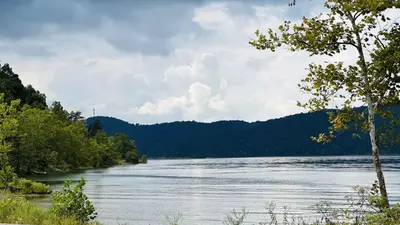
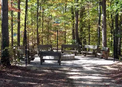
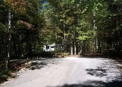
Zilpo Recreation Area is located at the end of the Zilpo Scenic Byway on a peninsula on the south shore of Cave Run Lake. Zilpo is a prime destination for families. The recreation area includes a large campground, a boat ramp, campground store, a sandy swimming beach, and scenic trails.
The scenic campground offers cabin rentals, tent camping, RV sites with electric hookups, and a selection of lakefront sites. A stand of mixed hardwoods shades the campground, and campsites have good privacy. Each site has a picnic table and campfire ring. Electric hookups are available at some campsites. Bathhouses with showers are spread throughout the campground. An RV dump station is available. Camping cabins sleep up to seven, and have beds, table, porch, accessible ramp entrance and picnic tables.
From OpenStreetMap, Overture Maps Foundation — Places, USDA Forest Service — Recreation Opportunities, and USFS INFRA Recreation Sites · · Edit
Cell service
Report signal- Verizon4G LTE
- AT&T4G LTE
- T-MobileNo coverage on FCC map
Cell service at Zilpo Recreation Area: FCC map Dec 2025
Weather
National Weather Service
- WedPatchy Fog then Chance Showers And Thunderstorms, 35% chance of rain84°67°
- ThuShowers And Thunderstorms Likely, 71% chance of rain80°63°
- FriChance Rain Showers, 48% chance of rain66°40°
- SatSunny, 1% chance of rain55°35°
- SunSunny64°42°
Nearby camping
SeeSee all on the map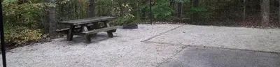
Zilpo - Daniel Boone Nat. For.
Public Land · 0.9 mi · Farmers
Claylick Boat-In Campground
Public Land · 1.1 mi · Farmers
Twin Knobs West Group Use Area
Campground · 1.8 mi · Farmers
3 more within 25 mi
4 OpenStreetMap entries in Farmers share one park. They may be individual sites of a single campground. Suggest a merge
Location and contact
Data from OpenStreetMap, Overture Maps Foundation — Places, USDA Forest Service — Recreation Opportunities, USFS INFRA Recreation Sites
Something wrong here? Suggest an edit
Run this campground? Claim the listing