Winhall Brook Camping Area
South Londonderry, Vermont · 1,056 ft · In Ball Mountain Lake
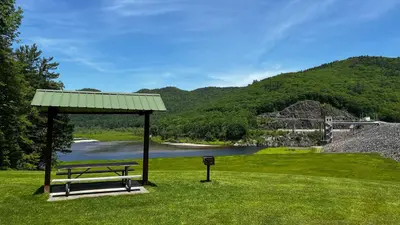
Photos: USACE
At a glance
6 of 8 facts known · recreation.gov, checked Sep 24, 2026
- Elevation
- 1,056 ft (322 m)1,056 ft322 m
Loops2
Pick a loop to see its sites.
From recreation.gov's site list, Oct 10, 2026. Loop names are trimmed and merged.
Amenities
From OpenStreetMap, Overture Maps Foundation — Places, Recreation.gov, Recreation.gov — campground rate cards · Correct
- Internet access
- WiFi
From OpenStreetMap, Overture Maps Foundation — Places, Recreation.gov, Recreation.gov — campground rate cards
You could be the first camper hereYou could be the first camper on this page
Stayed here? Share what the next camper should know.
Free account · no email needed to browse
About
Overview
Winhall Brook Camping Area is nestled in the Green Mountains of Vermont along Winhall Brook and the West River, seven miles north of Ball Mountain Lake. The campground has strong appeal to the outdoorsman at heart, offering hiking, biking and fishing opportunities in a beautiful natural setting.
Recreation
The Winhall Brook Camping Area rests among the Winhall River, and its confluence with the West River, providing substantial opportunities for fishing and river access. Hiking and biking are popular summer activities during stays within the campground, and the snowy winter months allow opportunities outside the recreation season, including cross-country skiing and snowshoeing. A picnic shelter located on the North Side provides space for larger gatherings during the recreation season.
From OpenStreetMap, Overture Maps Foundation — Places, Recreation.gov, and Recreation.gov — campground rate cards · · Edit
Good to know
- Wi-Fi available
Cell service
Report signal- Verizon4G LTE
- AT&TNo coverage on FCC map
- T-Mobile5G · 4G LTE
- Wi-FiAvailable
Cell service at Winhall Brook Camping Area: FCC map Dec 2025 · Wi-Fi from the campground
Weather
National Weather Service
- WedMostly Sunny, 14% chance of rain67°39°
- ThuMostly Sunny56°40°
- FriRain Showers, 100% chance of rain58°30°
- SatChance Rain And Snow Showers, 25% chance of rain40°24°
- SunSunny, 8% chance of rain48°31°
Nearby camping
SeeSee all on the map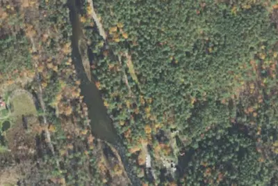
Camp site
Campground · 4.3 mi · Jamaica
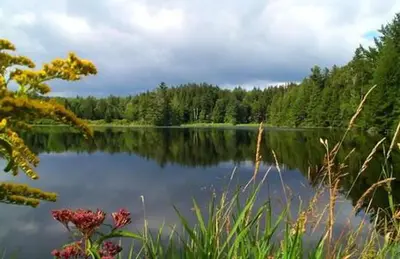
Hapgood Pond
Public Land · 7.5 mi · Londonderry
Bromley Shelter
Public Land · 8.2 mi · East Dorset
3 more within 25 mi
Dispersed camping nearby
Free dispersed camping within 19 mi, on public land.
- 10 mi
Camp site (USFS)
Weston, VT · On U.S. Forest Service land · Green Mountain National Forest
- 10 mi
North Bourne Pond
Manchester, VT · On U.S. Forest Service land · Green Mountain National Forest
- 11 mi
South Bourne Pond
Manchester, VT · On U.S. Forest Service land · Green Mountain National Forest
- 11 mi
Bourn Pond
Manchester, VT
- 17 mi
Camp site (USFS)
Danby, VT · On U.S. Forest Service land · Green Mountain National Forest
- 18 mi
Little Rock Pond Tenting Area
Danby, VT · On U.S. Forest Service land · Green Mountain National Forest
Location and contact
Data from OpenStreetMap, Overture Maps Foundation — Places, Recreation Information Database (RIDB) / Recreation.gov, Recreation.gov — campground rate cards
Something wrong here? Suggest an edit
Run this campground? Claim the listing