Willie Lee
Theodosia, Missouri · 1,394 ft
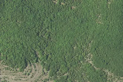
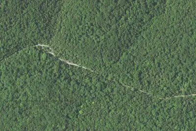
Aerial view · USGS / USDA NAIP · Public domain · source
At a glance
3 of 8 facts known · Forest Service data, checked Oct 3, 2026
- Elevation
- 1,394 ft (425 m)1,394 ft425 m
- Land
- Mark Twain National Forest
U.S. Forest Service
Amenities
You could be the first camper hereYou could be the first camper on this page
Stayed here? Share what the next camper should know.
Free account · no email needed to browse
About
The trailhead at Willie Lee provides access to the Bateman Trail system from the east. It is nearby the Wolf Junction dispersed camping area. The site is not developed, but dispersed camping opportunities are limited. This location is also stop #6 on the Glade Top Trail Scenic Byways tour. The 1930s plat book shows J.W. Findley as the owner of the land now known as Wolf Junction. Other individuals owned the land before Mr. Findley, but he left a lasting impression that is part of Ozarks history. Mr. Findley was a noted author, local historian, and was known as the walking preacher of the Ozarks. In his retirement, J.W. Findley wrote 8 books, each relating to the Missouri Ozarks. He was 92 years old when he died in 1990 while living in Ava, MO. You can tell by the following quote that J.W. Findley was fond of the Ozarks: "And when Indian Summer comes and God hangs a shimmering curtain of blue purple over these Ozark Hills, and the trees put on their robes of scarlet and gold, just take a drive over the Glade Top (Skyline) drive and you'll say you've seen a little bit of Ozark Glory, too. God must have loved our hills a lot, or He wouldn't have made so many of them." (Ozark Glory,1985 J.W. Findley)The White River Historical Society located in Forysyth, MO was very helpful in gathering information for this stop. If you would like to learn more about Taney County history, visit their website http://wrvhs.org/. According to the 1930s plat book, lands now known as Willie Lee were once owned by the Rialto Land and Mining Co. in the 30s. The company owned several acres of land in the immediate area. Research has not found much information regarding this company.
Fees: Day Use:
From USFS INFRA Recreation Sites · · Edit
Cell service
Report signal- Verizon4G LTE
- AT&TNo coverage on FCC map
- T-MobileNo coverage on FCC map
Cell service at Willie Lee: FCC map Dec 2025
Weather
National Weather Service
- WedScattered Showers And Thunderstorms, 81% chance of rain84°68°
- ThuChance Showers And Thunderstorms, 44% chance of rain87°53°
- FriSlight Chance Rain Showers then Mostly Sunny, 21% chance of rain62°40°
- SatSunny65°41°
- SunSunny71°49°
Nearby camping
SeeSee all on the map
Wolf Junction (GTT Stop 7)
Public Land · 0.2 mi · Theodosia
Bateman
Dispersed · 1.9 mi · Theodosia
Tidwell
Dispersed · 5.3 mi · Kissee Mills
3 more within 25 mi
3 OpenStreetMap entries in Theodosia share one park. They may be individual sites of a single campground. Suggest a merge
Dispersed camping nearby
Free dispersed camping within 19 mi, on public land.
- 1.9 mi
Bateman
Theodosia, MO
- 5.3 mi
Tidwell
Kissee Mills, MO
- 6.7 mi
Camp site
Kissee Mills, MO · On U.S. Forest Service land · Mark Twain National Forest
- 7.7 mi
Camp site
Kissee Mills, MO · On U.S. Forest Service land · Mark Twain National Forest
- 8.2 mi
Camp site
Kissee Mills, MO · On U.S. Forest Service land · Mark Twain National Forest
- 8.4 mi
Camp site
Kissee Mills, MO · On U.S. Forest Service land · Mark Twain National Forest
Location and contact
Data from USFS INFRA Recreation Sites
Something wrong here? Suggest an edit
Run this campground? Claim the listing