Wildwood Recreation Site
Mount Hood Villages, Oregon · 1,230 ft · In Salmon Wild and Scenic River
Photos: Wildwood Park Ranger - BLM
Wildfire 15 mi S: The Narrows, 305 acres, 98% contained
At a glance
6 of 8 facts known · recreation.gov, checked Oct 3, 2026
- Elevation
- 1,230 ft (375 m)1,230 ft375 m
Loops0
Pick a loop to see its sites.
Other areas
From recreation.gov's site list, Oct 10, 2026. Loop names are trimmed and merged.
Amenities
From BLM National Recreation Sites & Facilities, Overture Maps Foundation — Places, Recreation.gov, Recreation.gov — campground rate cards · Correct
- Campfires allowed
- Drinking water
From BLM National Recreation Sites & Facilities, Overture Maps Foundation — Places, Recreation.gov, Recreation.gov — campground rate cards
You could be the first camper hereYou could be the first camper on this page
Stayed here? Share what the next camper should know.
Free account · no email needed to browse
About
Overview
Wildwood Recreation Site is open year-round but may close due to vehicle access during severe weather. Check status during severe weather events by calling 503-375-5646.
Park passes are only available for purchase online for printing (Wildwood Recreation Site Day Pass) or onsite at the automated fee machine (AFM), located next to the park’s entrance station. Credit cards only; no cash or checks. Visitors may purchase either a daily or a Northwest Oregon District Passenger Vehicle Day Use annual pass at the AFM. Visitors with an annual pass receipt should bring it to the park office for transfer to a static cling Northwest Oregon District Passenger Vehicle Day Use Pass. Wildwood staff is limited so please be patient and hold onto your paper receipt until able to contact a park employee. Wildwood is open from 8 AM until 1/2 hour before sunset, or 8 PM whichever is closer, 7 days a week. Please stay aware of the closure times posted on roadside signs throughout the park. The gate will close at the posted time so make sure that you exit the park at or before the closing time.
From BLM National Recreation Sites & Facilities, Overture Maps Foundation — Places, Recreation.gov, and Recreation.gov — campground rate cards · · Edit
Cell service
Report signal- Verizon4G LTE
- AT&T5G · 4G LTE
- T-Mobile4G LTE
Cell service at Wildwood Recreation Site: FCC map Dec 2025
Weather
National Weather Service
- WedPatchy Fog then Mostly Sunny, 6% chance of rain66°47°
- ThuSunny72°50°
- FriMostly Sunny77°47°
- SatLight Rain Likely, 60% chance of rain58°37°
- SunMostly Sunny, 3% chance of rain60°40°
Nearby camping
SeeSee all on the map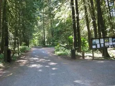
Tollgate
Public Land · 4.6 mi · Rhododendron
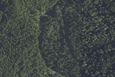
Green Canyon Campground & Day Use Area
Public Land · 5.5 mi · Mount Hood Villages
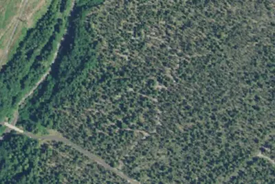
McNeil Campground
Public Land · 6.1 mi · Mount Hood Villages
3 more within 25 mi
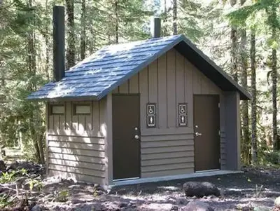
Dispersed camping nearby
Free dispersed camping within 19 mi, on public land.
- 7.2 mi
Camp site
Rhododendron, OR · On U.S. Forest Service land · Mt. Hood National Forest
- 7.3 mi
Camp site
Rhododendron, OR · On U.S. Forest Service land · Mt. Hood National Forest
- 7.3 mi
Camp site
Rhododendron, OR · On U.S. Forest Service land · Mt. Hood National Forest
- 7.3 mi
Camp site
Rhododendron, OR · On U.S. Forest Service land · Mt. Hood National Forest
- 7.4 mi
Camp site
Rhododendron, OR · On U.S. Forest Service land · Mt. Hood National Forest
- 7.5 mi
Camp site
Rhododendron, OR · On U.S. Forest Service land · Mt. Hood National Forest
Location and contact
Data from BLM National Recreation Sites & Facilities, Overture Maps Foundation — Places, Recreation Information Database (RIDB) / Recreation.gov, Recreation.gov — campground rate cards
Something wrong here? Suggest an edit
Run this campground? Claim the listing