Wildrose Campground
Death Valley, California · 4,124 ft · In Death Valley National Park
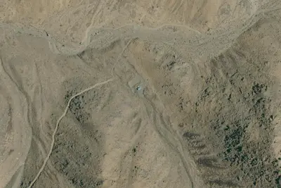
Aerial view · USGS / USDA NAIP · Public domain · source
Photos taken nearby
From Wikimedia Commons, taken close to this campground — not necessarily pictures of it.
At a glance
4 of 8 facts known · inferred from the kind of place
- Elevation
- 4,124 ft (1,257 m)4,124 ft1,257 m
- Land
- Death Valley National Park
National Park Service
Other campgrounds in Death Valley National Park 14
Nearest first. This park is spread out: the closest is 6 miles away.
- Thorndike Campground (Primitive)6 sites · Free6.9 mi
- Mahogany Flat Campground (Primitive)9 sites · Free7.2 mi
- Mahogany Flat Campground9 sites · Free7.3 mi
- Panamint Springs Resort Camping & RVCampground · facts not yet known16 mi
- Fiddlers' Campground$29–$34 a night22 mi
- Furnace Creek Campground2 loops · DRIVE-IN LOOP and TENT WALK-IN LOOP · 136 sites · $30–$44 a night · full hookups · Reserve on Recreation.gov23 mi
Also in the park: 6 backcountry and High Sierra camps · 5 single sites
Open the park pageAmenities
From National Park Service — campgrounds, OpenStreetMap, Overture Maps Foundation — Places · Correct
- Backcountry camping
- Caravan / RV sites
- Tent sites
- Hours (24/7)
From National Park Service — campgrounds, OpenStreetMap, Overture Maps Foundation — Places
You could be the first camper hereYou could be the first camper on this page
Stayed here? Share what the next camper should know.
Free account · no email needed to browse
About
***No Potable Water Available in the Wildrose Area. Closest available water ~31 miles north at Stovepipe Wells, CA. First-come, first-served campground with no additional fee, high in the Panamint Mountains. Located at an elevation of 4100 ft / 1250 meters. No water. No hook-ups available. Generators allowed 7am - 7pm. This area is prone to high winds. Sites are dirt and gravel surrounded by mesquite bushes and rolling hills.
From National Park Service — campgrounds, OpenStreetMap, and Overture Maps Foundation — Places · Edit
Cell service
Report signalFCC map: no coverage reported
- VerizonNo coverage on FCC map
- AT&TNo coverage on FCC map
- T-MobileNo coverage on FCC map
Cell service at Wildrose Campground: FCC map Dec 2025
Weather
National Weather Service
- MonSunny, 3% chance of rain58°45°
- TueSlight Chance Rain Showers then Sunny, 16% chance of rain58°46°
- WedSunny67°51°
- ThuSunny73°55°
- FriSunny73°54°
Nearby camping
SeeSee all on the mapOutside the park, nearest first.
Dispersed camping nearby
Free dispersed camping within 19 mi, on public land.
Location and contact
Data from National Park Service — campgrounds (NPS Data API), OpenStreetMap, Overture Maps Foundation — Places
Something wrong here? Suggest an edit
Run this campground? Claim the listing