White Rock Campground
Winslow, Arkansas · 2,306 ft
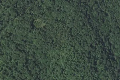
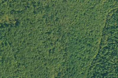
Aerial view · USGS / USDA NAIP · Public domain · source
Photos taken nearby
From Wikimedia Commons, taken close to this campground — not necessarily pictures of it.
At a glance
3 of 8 facts known · Forest Service data, checked Oct 3, 2026
- Elevation
- 2,306 ft (703 m)2,306 ft703 m
- Land
- Ozark National Forest
U.S. Forest Service
Amenities
You could be the first camper hereYou could be the first camper on this page
Stayed here? Share what the next camper should know.
Free account · no email needed to browse
About
Step into the past by visiting the three natural stone cabins and the lodge on White Rock Mountain built in the 1930's by the Civilian Conservation Corps (CCC). President Franklin D. Roosevelt formed the CCC during the Great Depression. Wind, rain, and natural elements caused the deterioration of the buildings over the years. In 1987 a volunteer group, Friends of White Rock, began a project to renovate the structures. With a lot of hard work, the cabins and lodge were restored in 1991. Visitors to White Rock Mountain enjoy scenic views from the cabins. White Rock Mountain is 2,260 feet above sea level and received its name from the appearance of the lichen on the sheer bluffs that look white from a distance. High bluffs surround this area. Please use caution while along the bluff line, especially with small children. White Rock Mountain is the hub of several trail systems. It offers a 13.4-mile loop trail south to Shores Lake and returns to intersect with the Ozark Highlands Trail. Around the rim of the mountaintop is a 1.5-mile loop trail. 3 rental cabins and a lodge. All three feature stone fireplaces and original furniture. The lodge can accommodate up to 30 people a night and is accessible to the physically challenged. The cabins can be rented year-round. 8 family camping units with tent pads and fire pits and one group site that will accommodate up to 10 guests. 8 family picnicking units.
Fees: $15.00 per site, overnight
From Overture Maps Foundation — Places and USFS INFRA Recreation Sites · Edit
Cell service
Report signal- Verizon4G LTE
- AT&T5G · 4G LTE
- T-Mobile5G · 4G LTE
Cell service at White Rock Campground: FCC map Dec 2025
Weather
National Weather Service
- WedShowers And Thunderstorms Likely, 58% chance of rain82°68°
- ThuChance Showers And Thunderstorms, 27% chance of rain82°56°
- FriSlight Chance Rain Showers then Mostly Sunny, 17% chance of rain60°42°
- SatSunny63°44°
- SunSunny67°51°
Nearby camping
SeeSee all on the map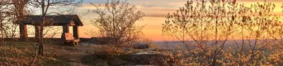
White Rock Mountain Recreation Area
Public Land · 420 ft · Winslow
Camp site
Dispersed · 0.4 mi · Winslow
Camp site
Dispersed · 0.8 mi · Mountainburg
3 more within 25 mi
6 OpenStreetMap entries in Winslow share one park. They may be individual sites of a single campground. Suggest a merge
Dispersed camping nearby
Free dispersed camping within 19 mi, on public land.
- 0.4 mi
Camp site
Winslow, AR · On U.S. Forest Service land · Ozark National Forest
- 0.8 mi
Camp site
Mountainburg, AR · On U.S. Forest Service land · Ozark National Forest
- 0.9 mi
Camp site
Mountainburg, AR · On U.S. Forest Service land · Ozark National Forest
- 1.1 mi
Camp site
Winslow, AR · On U.S. Forest Service land · Ozark National Forest
- 1.4 mi
Camp site
Ozark, AR · On U.S. Forest Service land · Ozark National Forest
- 1.4 mi
Camp site
St. Paul, AR · On U.S. Forest Service land · Ozark National Forest
Location and contact
Data from Overture Maps Foundation — Places, USFS INFRA Recreation Sites
Something wrong here? Suggest an edit
Run this campground? Claim the listing