White River Campground
Sugarloaf Saw Mill, California · 4,085 ft
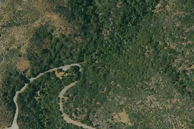
Aerial view · USGS / USDA NAIP · Public domain · source
At a glance
2 of 8 facts known · Forest Service data, checked Oct 3, 2026
- Elevation
- 4,085 ft (1,245 m)4,085 ft1,245 m
Amenities
From OpenStreetMap, USDA Forest Service — Recreation Opportunities, USFS INFRA Recreation Sites · Correct
- Reservations (recommended)
From OpenStreetMap, USDA Forest Service — Recreation Opportunities, USFS INFRA Recreation Sites
You could be the first camper hereYou could be the first camper on this page
Stayed here? Share what the next camper should know.
Free account · no email needed to browse
About
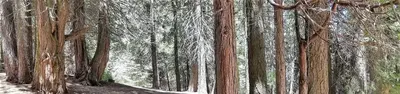
The White River Campground sits in a stand of mature cedar along the banks of the White River at an altitude of 4,000 feet. The campgrounds are approximately 8 miles from the popular California Hot Springs. Natural Features: The Sequoia National Forest, located at the southern end of the Sierra Nevada in central California, takes its name from the giant sequoia, the world ' s largest tree, which grows in more than 30 groves on the Forest ' s lower slopes. The Forest comprises about 1.1 million acres, and elevations range from about 1,000 to 12,000 feet, creating precipitous canyons and mountain streams with spectacular waterfalls such as Salmon Creek Falls and Grizzly Falls. Recreation: Fishing and hiking, along with camp-side river wading, are popular pursuits. The river narrows to a creek-size width near the campgrounds. Facilities: This is a remote, tent-only site set back a distance from the road. Vault toilets, campfire rings and picnic areas are provided. This facility is operated by Sequoia Recreation, a division of California Land Management and comments are welcome comment forms are available from campground hosts or online. Nearby Attractions: Visitors enjoy exploring the nearby sequoia groves and hot springs. The Giant Sequoia Mercantile offers a wide variety of books, maps, gifts, local art, camping supplies and other merchandise.
Fees: Overnight Use:
From OpenStreetMap, USDA Forest Service — Recreation Opportunities, and USFS INFRA Recreation Sites · · Edit
Cell service
Report signalFCC map: no coverage reported
- VerizonNo coverage on FCC map
- AT&TNo coverage on FCC map
- T-MobileNo coverage on FCC map
Cell service at White River Campground: FCC map Dec 2025
Weather
National Weather Service
- WedSunny66°54°
- ThuSunny73°58°
- FriSunny74°59°
- SatSunny72°56°
- SunSunny70°56°
Nearby camping
SeeSee all on the map
Poso Guard Station Cabin
Public Land · 2.6 mi · Poso Park
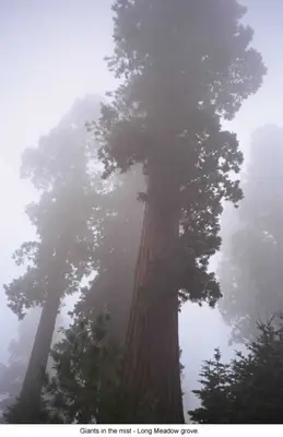
Leavis Flat Campground
Public Land · 3.3 mi · California Hot Springs
Frog Meadow
Public Land · 3.9 mi · Pine Flat
3 more within 25 mi
3 OpenStreetMap entries in Sugarloaf Saw Mill share one park. They may be individual sites of a single campground. Suggest a merge
Dispersed camping nearby
Free dispersed camping within 19 mi, on public land.
- 9.5 mi
Chamise Flats Dispersed Camping Area
Pine Flat, CA
- 9.5 mi
Chamise Flat Campground
Pine Flat, CA · On U.S. Forest Service land · Sequoia National Forest
- 9.6 mi
Calkins Flats Disperseed Camping Area
Pine Flat, CA
- 9.8 mi
Chico Flat Dispersed Campground
Kernville, CA · On U.S. Forest Service land · Sequoia National Forest
- 10 mi
Old Goldledge Dispersed Camping
Kernville, CA
- 11 mi
Spring Hill South Dispersed Camping
Kernville, CA
Location and contact
Data from OpenStreetMap, USDA Forest Service — Recreation Opportunities, USFS INFRA Recreation Sites
Something wrong here? Suggest an edit
Run this campground? Claim the listing