White House Campground
Big Water, Utah · 4,308 ft
BLM · source
At a glance
4 of 8 facts known · recreation.gov, checked Oct 3, 2026
- Elevation
- 4,308 ft (1,313 m)4,308 ft1,313 m
Sites12
White House Campground lists no loops, so its sites are listed here. Pick a site to see its details.
From recreation.gov's site list, Oct 10, 2026.
Amenities
From BLM National Recreation Sites & Facilities, OpenStreetMap, Overture Maps Foundation — Places, Recreation.gov, Recreation.gov — campground rate cards · Correct
- Caravan / RV sites
- Tent sites
From BLM National Recreation Sites & Facilities, OpenStreetMap, Overture Maps Foundation — Places, Recreation.gov, Recreation.gov — campground rate cards
You could be the first camper hereYou could be the first camper on this page
Stayed here? Share what the next camper should know.
Free account · no email needed to browse
About
Overview
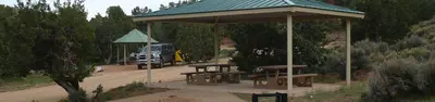
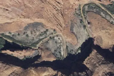
White House campground is located approximately 43 miles east of Kanab, Utah, two miles to the south of Highway 89 and the Paria Contact Station, at the end of Monument Road 751 . The campground sits in a broad valley between the Paria River and scenic white-grey sandstone buttes. Individual campsites are available on a first-come, first-served basis; they cannot be reserved ahead of time. The campground was constructed in the 1970s, and, until it was reconstructed (2017- 2019), was combined with a trailhead accessing the Paria Canyon-Vermilion Cliffs Wilderness. The campground has been primarily used by hikers and backpackers as a staging area for trips into the Paria Canyon Vermilion Cliffs Wilderness, which is jointly managed by the KFO, Grand Staircase-Escalante National Monument (GSENM), and Vermilion Cliffs National Monument (VCNM)
campers will claim and pay for their spots upon arrivel, using Scan & PayEasy Mobile Payment using Recreation.gov Mobile App
From BLM National Recreation Sites & Facilities, OpenStreetMap, Overture Maps Foundation — Places, Recreation.gov, and Recreation.gov — campground rate cards · · Edit
Cell service
Report signal- Verizon4G LTE
- AT&TNo coverage on FCC map
- T-Mobile5G · 4G LTE
Cell service at White House Campground: FCC map Dec 2025
Weather
National Weather Service
- WedSunny, 9% chance of rain61°39°
- ThuSunny63°43°
- FriSunny65°43°
- SatMostly Sunny, 7% chance of rain61°43°
- SunSunny, 2% chance of rain65°44°
Nearby camping
SeeSee all on the map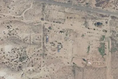
Paria River Ranch
RV Park · 2.3 mi · Big Water
Bridger Point Camping Allowed
Campground · 6.4 mi · Big Water
Camping Judd Hollow
Campground · 8.3 mi · Big Water
3 more within 25 mi
3 OpenStreetMap entries in Big Water share one park. They may be individual sites of a single campground. Suggest a merge
Dispersed camping nearby
Free dispersed camping within 19 mi, on public land.
Location and contact
Data from BLM National Recreation Sites & Facilities, OpenStreetMap, Overture Maps Foundation — Places, Recreation Information Database (RIDB) / Recreation.gov, Recreation.gov — campground rate cards
Something wrong here? Suggest an edit
Run this campground? Claim the listing