Wheatland Park
Wheatland, Missouri · 863 ft · In Pomme De Terre Recreation Area
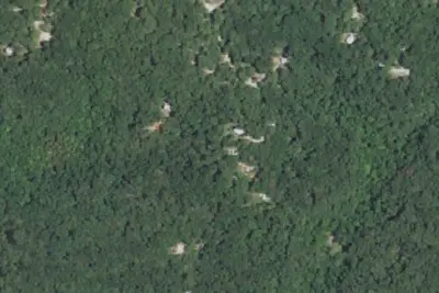
Aerial view · USGS / USDA NAIP · Public domain · source
At a glance
6 of 8 facts known · recreation.gov, checked Sep 24, 2026
- Elevation
- 863 ft (263 m)863 ft263 m
Sites62
Wheatland Park lists no loops, so its sites are listed here. Pick a site to see its details.
- 01Standard · up to 10 people35 ft
- 02Standard · accessible · up to 10 people30 ft
- 03Standard · up to 10 people35 ft
- 04Standard · up to 10 people40 ft
- 05Standard · up to 10 people30 ft
- 06Standard · up to 10 people40 ft
- 07Standard · up to 10 people40 ft
- 08Standard · up to 10 people30 ft
- 09Standard · up to 10 people40 ft
- 10Standard · up to 10 people35 ft
Showing 10 of 62 · by site number
From recreation.gov's site list, Oct 10, 2026: 17 staff entries left out.
Other campgrounds in Pomme De Terre Recreation Area 7
Nearest first. Every place inside the park's boundary.
- Lightfoot Park CampgroundCampground · facts not yet known3.0 mi
- Pomme de Terre Outlet Park CampgroundCampground · facts not yet known3.3 mi
- Lightfoot Landing$14–$26 a night · partial hookups · Reserve on Recreation.gov3.5 mi
- Dam Site Park CampgroundCampground · facts not yet known4.0 mi
- Damsite3 loops · DAMS, EAST, T#2 · $14–$26 a night · full hookups · Reserve on Recreation.gov4.2 mi
- Nemo Landing$14–$26 a night · partial hookups · Reserve on Recreation.gov5.5 mi
Also in the park: 3 group areas · 2 single sites
Open the park pageAmenities
From OpenStreetMap, Overture Maps Foundation — Places, Recreation.gov, Recreation.gov — campground rate cards · Correct
- ADA accessible
- Campfires allowed
From OpenStreetMap, Overture Maps Foundation — Places, Recreation.gov, Recreation.gov — campground rate cards
You could be the first camper hereYou could be the first camper on this page
Stayed here? Share what the next camper should know.
Free account · no email needed to browse
About
Overview
Wheatland Park sits along the sparkling shores of Pomme de Terre Lake, known as the "gem of the Ozarks," for its deep, clear waters. The phrase "Pomme de Terre" is French for potato or "apple of the earth." Most likely, the river was named by early French trappers and fur traders, who discovered plants resembling potatoes on the riverbanks.
Recreation
Pomme de Terre Lake is popular among water skiers and anglers. A number of coves on the lake provide seclusion for ideal fishing conditions, regardless of power boating on other areas of the lake.
From OpenStreetMap, Overture Maps Foundation — Places, Recreation.gov, and Recreation.gov — campground rate cards · · Edit
Cell service
Report signal- Verizon5G · 4G LTE
- AT&T5G · 4G LTE
- T-Mobile5G · 4G LTE
Cell service at Wheatland Park: FCC map Dec 2025
Weather
National Weather Service
- WedShowers And Thunderstorms, 97% chance of rain79°67°
- ThuShowers And Thunderstorms, 89% chance of rain82°49°
- FriSlight Chance Rain Showers then Mostly Sunny, 16% chance of rain61°38°
- SatSunny65°43°
- SunSunny, 2% chance of rain72°50°
Nearby camping
SeeSee all on the mapOutside the park, nearest first.
Pittsburg Campground
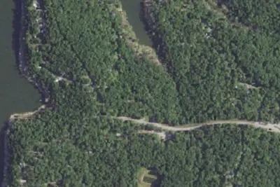
Campground · 2.8 mi · Hermitage
Hermitage Campground
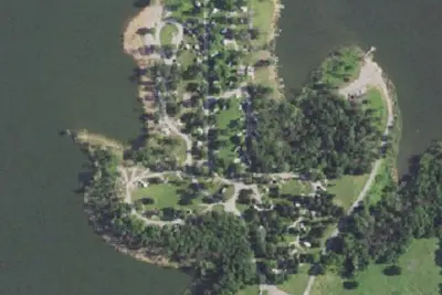
Campground · 3.9 mi · Hermitage
RV park
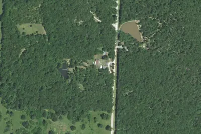
RV Park · 17 mi · Collins
3 more within 25 mi
Location and contact
Data from OpenStreetMap, Overture Maps Foundation — Places, Recreation Information Database (RIDB) / Recreation.gov, Recreation.gov — campground rate cards
Something wrong here? Suggest an edit
Run this campground? Claim the listing