West Tensleep Lake
South Big Horn, Wyoming · 9,091 ft · In Bighorn National Forest
Photos: GCC
Wildfire 34 mi N: Pk, 1,645 acres, 85% contained
At a glance
6 of 8 facts known · recreation.gov, checked Sep 24, 2026
- Elevation
- 9,091 ft (2,771 m)9,091 ft2,771 m
Sites10
West Tensleep Lake lists no loops, so its sites are listed here. Pick a site to see its details.
- 001Standard · up to 8 people30 ft
- 002Standard · up to 8 people30 ft
- 003Standard · up to 8 people30 ft
- 004Standard · up to 8 people35 ft
- 005Standard · up to 8 people35 ft
- 006Standard · up to 8 people35 ft
- 007Standard · up to 8 people35 ft
- 008Standard · up to 8 people45 ft
- 009Tent only · up to 8 peopleTents only
- 010Standard · up to 8 people36 ft
All 10 shown · by site number
From recreation.gov's site list, Oct 10, 2026.
Amenities
From OpenStreetMap, Overture Maps Foundation — Places, Recreation.gov, Recreation.gov — campground rate cards, USDA Forest Service — Recreation Opportunities, USFS INFRA Recreation Sites · Correct
- Campfires allowed
From OpenStreetMap, Overture Maps Foundation — Places, Recreation.gov, Recreation.gov — campground rate cards, USDA Forest Service — Recreation Opportunities, USFS INFRA Recreation Sites
You could be the first camper hereYou could be the first camper on this page
Stayed here? Share what the next camper should know.
Free account · no email needed to browse
About
Overview
West Tensleep Lake Campground is located on West Tensleep Lake on the west side of scenic Cloud Peak Skyway, near the Cloud Peak Wilderness Area. The Bighorn National Forest offers a wide variety of activities, including hiking, fishing, scenic driving and a number of historic sites. The administering organization is Rustic Freedom / Gallatin Canyon Campgrounds; e-mail: support@rusticfreedom.com
Recreation
West Tensleep Lake covers 125 acres and is open to non-motorized watercraft only, making it a perfect location for canoeing and fishing. Anglers will find rainbow, brown and brook trout in the cool waters of the lake.
From OpenStreetMap, Overture Maps Foundation — Places, Recreation.gov, Recreation.gov — campground rate cards, USDA Forest Service — Recreation Opportunities, and USFS INFRA Recreation Sites · · Edit
Cell service
Report signalFCC map: no coverage reported
- VerizonNo coverage on FCC map
- AT&TNo coverage on FCC map
- T-MobileNo coverage on FCC map
Cell service at West Tensleep Lake: FCC map Dec 2025
Weather
National Weather Service
- WedRain And Snow Showers Likely, 65% chance of rain44°25°
- ThuSunny, 1% chance of rain41°22°
- FriSunny53°35°
- SatSunny59°35°
- SunSunny53°34°
Nearby camping
SeeSee all on the map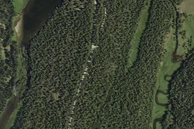
Camp site
Campground · 0.1 mi · South Big Horn
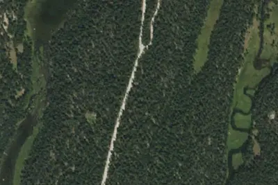
Camp site
Campground · 0.2 mi · South Big Horn
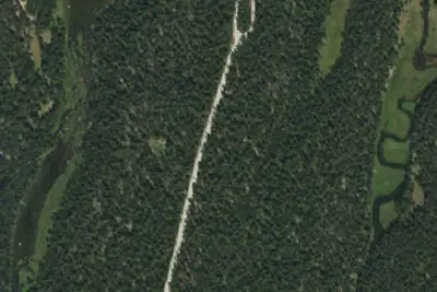
Camp site
Campground · 0.2 mi · South Big Horn
3 more within 25 mi
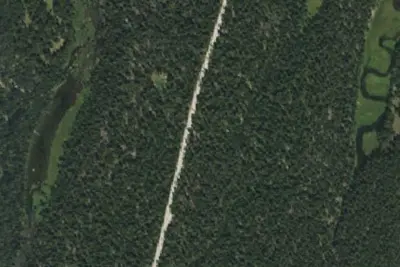
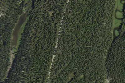
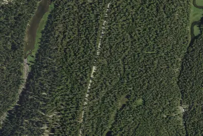
6 OpenStreetMap entries in South Big Horn share one park. They may be individual sites of a single campground. Suggest a merge
Dispersed camping nearby
Free dispersed camping within 19 mi, on public land.
Location and contact
Data from OpenStreetMap, Overture Maps Foundation — Places, Recreation Information Database (RIDB) / Recreation.gov, Recreation.gov — campground rate cards, USDA Forest Service — Recreation Opportunities, USFS INFRA Recreation Sites
Something wrong here? Suggest an edit
Run this campground? Claim the listing