Wawona Campground
Wawona, California · 5,846 ft · In Yosemite National Park
Photos: NPS
Wildfire 3.8 mi E: Dome, 6,788 acres, 86% contained
At a glance
5 of 8 facts known · recreation.gov, checked Sep 24, 2026
- Elevation
- 5,846 ft (1,782 m)5,846 ft1,782 m
Loops3
Pick a loop to see its sites.
From recreation.gov's site list, Oct 10, 2026: 3 staff entries left out. Loop names are trimmed and merged.
How we name loops
“Scan & Pay Wawona” is a staff entry, not a campsite, and is left out.
Other campgrounds in Yosemite National Park 21
Nearest first. Every place inside the park's boundary.
- Wawona Horse Campsites2 sites · $50 a night · Reserve on Recreation.gov1.8 mi
- Bridalveil Creek Campground3 loops · A, B, C · 110 sites · $36–$50 a night · Reserve on Recreation.gov8.5 mi
- Yellow Pine Administrative CampgroundCampground · facts not yet known13 mi
- Camp 42 loops · A and Camp 4 · 61 sites · $10–$60 a night · Reserve on Recreation.gov14 mi
- Tamarack Flat Campground52 sites · $24 a night · Reserve on Recreation.gov14 mi
- Curry VillageFee charged14 mi
Also in the park: 10 backcountry and High Sierra camps · 13 single sites
Open the park pageAmenities
From National Park Service — campgrounds, OpenStreetMap, Overture Maps Foundation — Places, Recreation.gov, Recreation.gov — campground rate cards · Correct
- Caravan / RV sites
- Tent sites
- Toilets
- Reservations (required)
From National Park Service — campgrounds, OpenStreetMap, Overture Maps Foundation — Places, Recreation.gov, Recreation.gov — campground rate cards
You could be the first camper hereYou could be the first camper on this page
Stayed here? Share what the next camper should know.
Free account · no email needed to browse
About
Overview
Wawona Campground is located in breathtaking Yosemite National Park in Central California's rugged Sierra Nevada Mountain Range. The site is situated at the southern end of the park, 27 miles and approximately 45 minutes from Yosemite Valley, at an elevation of 4000 feet.
Wawona was home to the park's headquarters in 1904 and historic structures still stand today. The majestic Mariposa Grove of Giant Sequoias is just a short drive away. Within Yosemite, visitors gaze upon waterfalls, sheer granite cliffs, deep valleys, grand meadows, ancient giant sequoias, a vast wilderness area and much more.
From National Park Service — campgrounds, OpenStreetMap, Overture Maps Foundation — Places, Recreation.gov, and Recreation.gov — campground rate cards · · Edit
Cell service
Report signal- Verizon4G LTE
- AT&TNo coverage on FCC map
- T-MobileNo coverage on FCC map
Cell service at Wawona Campground: FCC map Dec 2025
Weather
National Weather Service
- TueSunny68°38°
- WedSunny76°45°
- ThuSunny83°47°
- FriSunny84°48°
- SatSunny82°46°
Nearby camping
SeeSee all on the mapOutside the park, nearest first.
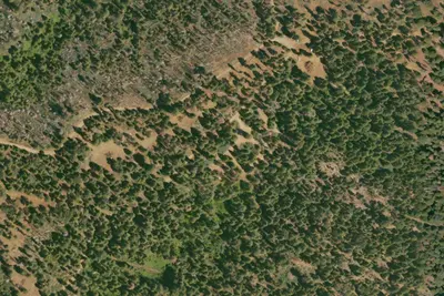
Summit Camp
Dispersed · 2.9 mi · Fish Camp
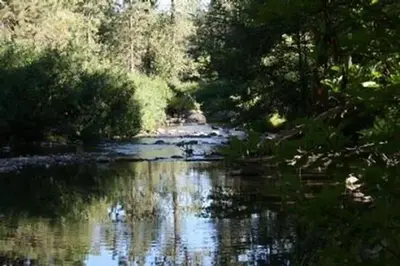
Summerdale Campground
Public Land · 5.0 mi · Fish Camp
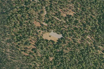
Goat Meadow Dispersed Campsite
Dispersed · 5.2 mi · Fish Camp
3 more within 25 mi
Dispersed camping nearby
Free dispersed camping within 19 mi, on public land.
Location and contact
Data from National Park Service — campgrounds (NPS Data API), OpenStreetMap, Overture Maps Foundation — Places, Recreation Information Database (RIDB) / Recreation.gov, Recreation.gov — campground rate cards
Something wrong here? Suggest an edit
Run this campground? Claim the listing