Valley of Fires Recreation Area
Carrizozo, New Mexico · 5,240 ft · In Valley of Fires
Photos: BLM
At a glance
7 of 8 facts known · recreation.gov, checked Sep 24, 2026
- Elevation
- 5,240 ft (1,597 m)5,240 ft1,597 m
Sites27
Valley of Fires Recreation Area lists no loops, so its sites are listed here. Pick a site to see its details.
- Group Shelter 1Group · accessible · up to 30 people
- Group Shelter 2Tent only · accessible · up to 30 peopleTents only
- Site 1Standard20 ft
- Site 2Standard40 ft
- Site 3Standard40 ft
- Site 4Standard · accessible40 ft
- Site 5Standard40 ft
- Site 6Standard40 ft
- Site 7Standard40 ft
- Site 8Standard40 ft
Showing 10 of 27 · by site number
From recreation.gov's site list, Oct 10, 2026.
Amenities
From BLM National Recreation Sites & Facilities, OpenStreetMap, Overture Maps Foundation — Places, Recreation.gov, Recreation.gov — campground rate cards · Correct
- Caravan / RV sites
- Dump station
- Showers
- Tent sites
From BLM National Recreation Sites & Facilities, OpenStreetMap, Overture Maps Foundation — Places, Recreation.gov, Recreation.gov — campground rate cards
You could be the first camper hereYou could be the first camper on this page
Stayed here? Share what the next camper should know.
Free account · no email needed to browse
About
Overview
Valley of Fires recreation area is located immediately adjacent to the Malpais Lava Flow. Approximately 5,000 years ago, Little Black Peak erupted and flowed 44 miles into the Tularosa Basin, filling the basin with molten rock. The resulting lava flow is four to six miles wide, 160 feet thick and covers 125 square miles. The lava flow is considered to be one of the youngest lava flows in the continental United States.
The Bureau of Land Management maintains and manages the Valley of Fires Recreation area, which is located four miles west of Carrizozo, NM, on US Highway 380. Valley of Fires offers both camping and day use. 13 of the campsites have 30- and 50-amp electrical hookups and water hookups, all sites have picnic shelters, tables, trashcans and barbeque grills. Two of the RV sites are accessible, as are the restrooms. Showers are provided in the main restroom/shower house. An RV dump station is also available. Two group shelters are accessible and available for rental. The 3/4-mile Malpais Nature Trail offers a close-up look of the lava surface.
From BLM National Recreation Sites & Facilities, OpenStreetMap, Overture Maps Foundation — Places, Recreation.gov, and Recreation.gov — campground rate cards · · Edit
Cell service
Report signal- Verizon5G · 4G LTE
- AT&T5G · 4G LTE
- T-Mobile5G · 4G LTE
Cell service at Valley of Fires Recreation Area: FCC map Dec 2025
Weather
National Weather Service
- WedSunny74°43°
- ThuSunny74°40°
- FriPartly Sunny, 7% chance of rain55°37°
- SatPartly Sunny, 9% chance of rain61°40°
- SunMostly Sunny, 4% chance of rain65°44°
Nearby camping
SeeSee all on the map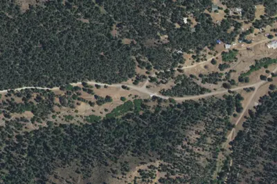
Bonito Creek
Public Land · 17 mi · Nogal
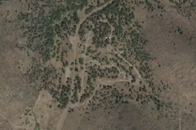
South Fork Campground
Public Land · 19 mi · Ruidoso
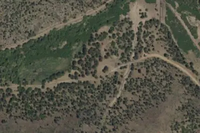
Camp site
Campground · 19 mi · Nogal
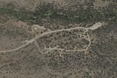
3 more within 25 mi
Location and contact
Data from BLM National Recreation Sites & Facilities, OpenStreetMap, Overture Maps Foundation — Places, Recreation Information Database (RIDB) / Recreation.gov, Recreation.gov — campground rate cards
Something wrong here? Suggest an edit
Run this campground? Claim the listing