Upper Manistee River Backcountry Campsites
Wellston, Michigan · 696 ft · In Huron-Manistee National Forests
Photos: USDA Forest Service
At a glance
4 of 8 facts known · recreation.gov, checked Sep 24, 2026
- Elevation
- 696 ft (212 m)696 ft212 m
Loops2
Pick a loop to see its sites.
From recreation.gov's site list, Oct 10, 2026. Loop names are trimmed and merged.
Amenities
From Recreation.gov, Recreation.gov — campground rate cards · Correct
- ADA accessible
- Boat launch
- Campfires allowed
- Drinking water
- Toilets
From Recreation.gov, Recreation.gov — campground rate cards
You could be the first camper hereYou could be the first camper on this page
Stayed here? Share what the next camper should know.
Free account · no email needed to browse
About
Overview
The Upper Manistee dispersed campsites are primitive campsites on the Manistee River Backwaters of Tippy Dam Pond, located along the banks of the Manistee River between Tippy Dam and Hodenpyl Dam. The Government Landing location includes 7 sites, in which, 5 are located on the water and 2 sites are on higher ground overlooking the water. There are 2 sites located on the water that are walk in only. The Red Bridge River Access offers 4 sites that are walk in only and allow easy access to the Manistee River. These sites are very popular and are by reservation only Memorial Day Weekend through Labor Day Weekend.
Recreation
The Upper Manistee River Area offers motorized and non-motorized boating opportunities, and fishing is excellent on the Manistee River. Wildlife viewing may include encounters with a variety of species such as bald eagles, loons, trumpeter swans, black bears, white tailed deer, river otters, and turtles. Many of these species are secretive and sensitive to disturbances, so please view them from a distance. Hiking opportunities in the area are numerous with the North Country Trail and the Manistee River Trail, as the top draw to the area. Both trails offer excellent views of the forested terrain and the Manistee River.
From Recreation.gov and Recreation.gov — campground rate cards · · Edit
Cell service
Report signal- Verizon4G LTE
- AT&TNo coverage on FCC map
- T-MobileNo coverage on FCC map
Cell service at Upper Manistee River Backcountry Campsites: FCC map Dec 2025
Weather
National Weather Service
- WedAreas Of Fog then Mostly Cloudy, 8% chance of rain61°35°
- ThuMostly Cloudy then Rain Showers Likely, 66% chance of rain61°40°
- FriShowers And Thunderstorms, 97% chance of rain53°30°
- SatSunny, 1% chance of rain56°36°
- SunSunny63°43°
Nearby camping
SeeSee all on the map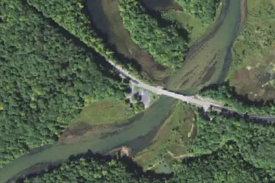
Red Bridge Access
Public Land · under 100 ft · Wellston
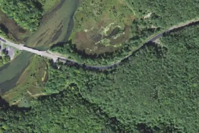
Red Bridge Campground
Campground · 0.2 mi · Wellston
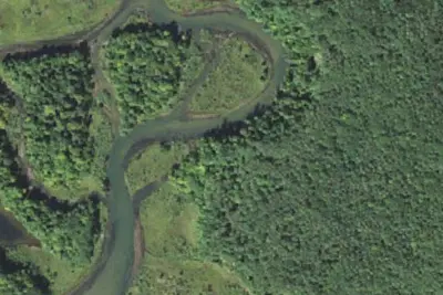
Camp site
Campground · 0.4 mi · Wellston
3 more within 25 mi
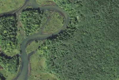
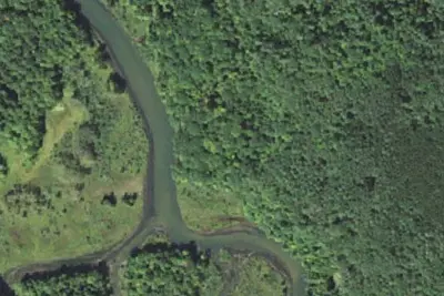
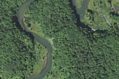
6 OpenStreetMap entries in Wellston share one park. They may be individual sites of a single campground. Suggest a merge
Dispersed camping nearby
Free dispersed camping within 19 mi, on public land.
- 1.4 mi
Government Landing Site 21
Wellston, MI · On U.S. Forest Service land · Manistee National Forest
- 1.9 mi
Government Landing
Wellston, MI · On U.S. Forest Service land · Manistee National Forest
- 2.8 mi
Camp site
Harrietta, MI · On U.S. Forest Service land · Manistee National Forest
- 3.2 mi
Camp site
Harrietta, MI · On U.S. Forest Service land · Manistee National Forest
- 4.4 mi
Camp site
Mesick, MI · On U.S. Forest Service land · Manistee National Forest
- 4.8 mi
Camp site
Mesick, MI · On U.S. Forest Service land · Manistee National Forest
Location and contact
Data from Recreation Information Database (RIDB) / Recreation.gov, Recreation.gov — campground rate cards
Something wrong here? Suggest an edit
Run this campground? Claim the listing