Tyler Bend Campground
Gilbert, Arkansas · 623 ft · In Buffalo National River
Photos: NPS
At a glance
4 of 8 facts known · recreation.gov, checked Oct 3, 2026
- Elevation
- 623 ft (190 m)623 ft190 m
Loops2
Pick a loop to see its sites.
Other areas
From recreation.gov's site list, Oct 10, 2026: 1 staff entry left out. Loop names are trimmed and merged.
Other campgrounds in Buffalo National River 14
Nearest first. Every place inside the park's boundary.
- Tyler Bend Drive-in Campground27 sites · $20 a night0.2 mi
- Tyler Bend Walk-in Campground10 sites0.4 mi
- WoolumFree6.6 mi
- South MaumeeFree8.1 mi
- Spring Creek Campground12 sites · Free10 mi
- Buffalo Point Campground5 loops · Loop A, Loop B, Loop C, Loop D, Loop E · 7 sites13 mi
Also in the park: Group area: Group Campground 0.2 mi · Group area: Group Campground 12 mi
Open the park pageAmenities
From National Park Service — campgrounds, Recreation.gov, Recreation.gov — campground rate cards · Correct
- ADA accessible
- Campfires allowed
- Cell signal reported
- Drinking water
- Dump station
- Showers
- Toilets
From National Park Service — campgrounds, Recreation.gov, Recreation.gov — campground rate cards
You could be the first camper hereYou could be the first camper on this page
Stayed here? Share what the next camper should know.
Free account · no email needed to browse
About
Overview
Campers will delight in the picturesque river views at Tyler Bend. Located 11 miles (18 km) northwest of Marshall, Arkansas, Tyler Bend is set on a quiet, peaceful section of the great Buffalo National River. Known as the middle river region, the campground offers tranquil views of the river beside pastures.
Recreation
Small-mouth bass, catfish and sunfish are the most popular fish to catch on the Buffalo River, but visitors should be aware that an Arkansas fishing license is required to fish anywhere on the river. The middle river location also allows for extended seasons for kayaking and tubing. If there's enough rain, the sports can go through mid- to late summer. Get a dose of history by hiking to the Collier Homestead, a restored Ozark dwelling from the 1930's. The homestead remembers one of the homes built by settlers in response to the Homestead Act of 1862.
From National Park Service — campgrounds, Recreation.gov, and Recreation.gov — campground rate cards · · Edit
Cell service
Report signal- Verizon5G · 4G LTE
- AT&T5G · 4G LTE
- T-Mobile5G · 4G LTE
Cell service at Tyler Bend Campground: FCC map Dec 2025
Weather
National Weather Service
- WedShowers And Thunderstorms Likely then Chance Showers And Thunderstorms, 73% chance of rain88°68°
- ThuSunny, 8% chance of rain88°53°
- FriChance Rain Showers then Mostly Sunny, 28% chance of rain64°38°
- SatSunny65°38°
- SunSunny72°45°
Nearby camping
SeeSee all on the mapOutside the park, nearest first.
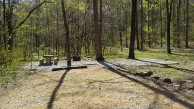
Richland Creek Campground
Public Land · 16 mi · Witts Springs
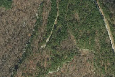
Sam's Throne
Public Land · 18 mi · Mount Judea
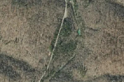
Camp site
Campground · 21 mi · Witts Springs
1 more within 25 mi
Dispersed camping nearby
Free dispersed camping within 19 mi, on public land.
Location and contact
Data from National Park Service — campgrounds (NPS Data API), Recreation Information Database (RIDB) / Recreation.gov, Recreation.gov — campground rate cards
Something wrong here? Suggest an edit
Run this campground? Claim the listing