Two Rivers
Eminence, Missouri · 627 ft · In Ozark National Scenic Riverways
Photos: NPS Photo
At a glance
4 of 8 facts known · recreation.gov, checked Sep 24, 2026
- Elevation
- 627 ft (191 m)627 ft191 m
Loops3
Pick a loop to see its sites.
- Sites 1-1212 sites12 standard · up to 28 ft
- Sites 13-197 sites7 tent only · tents only
- Sites 20-221 site1 standard
Other areas
From recreation.gov's site list, Oct 10, 2026. Loop names are trimmed and merged.
Other campgrounds in Ozark National Scenic Riverways 22
Nearest first. Every place inside the park's boundary.
- Shawnee Creek Campground6 sites · $10 a night · partial hookups · Reserve on Recreation.gov1.8 mi
- Jerktail Campground3 sites · $10 a night · Reserve on Recreation.gov2.9 mi
- Round Spring7 loops · Electric, Group Sites 1-3, Group Sites 4-8, Host, Round Spring Picnic Pavilions, Sites 2-29, 30-49, E1-E6, Standard · 55 sites · $10–$30 a night · partial hookups · Reserve on Recreation.gov9.3 mi
- Alley Spring11 loops · Alley Spring Group Sites, Group Picnic Area, Loop 100, Loop 200, Loop 300, Loop 400, Loop 500, Loop 600, Loop 700, Loop 800, Loop 900 · 146 sites · $10–$45 a night · partial hookups · Reserve on Recreation.gov9.8 mi
- National Park Service Site 1Campground · facts not yet known10 mi
- National Park Service Site 2Campground · facts not yet known10 mi
Also in the park: 8 group areas · 4 backcountry and High Sierra camps · 1 single site
Open the park pageAmenities
From National Park Service — campgrounds, OpenStreetMap, Recreation.gov, Recreation.gov — campground rate cards · Correct
- Campfires allowed
From National Park Service — campgrounds, OpenStreetMap, Recreation.gov, Recreation.gov — campground rate cards
You could be the first camper hereYou could be the first camper on this page
Stayed here? Share what the next camper should know.
Free account · no email needed to browse
About
Overview
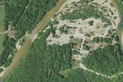
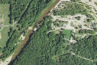
In the rolling, forested landscape of Two Rivers, two of America's most beautiful spring-fed rivers combine to make up the Ozark National Scenic Riverways.
As the first national park area to protect a wild river system, visitors have plenty of scenic water activities to enjoy as well as hiking, horseback riding and wildlife viewing.
From National Park Service — campgrounds, OpenStreetMap, Recreation.gov, and Recreation.gov — campground rate cards · · Edit
Cell service
Report signal- Verizon4G LTE
- AT&TNo coverage on FCC map
- T-MobileNo coverage on FCC map
Cell service at Two Rivers: FCC map Dec 2025
Weather
National Weather Service
- TueSunny, 2% chance of rain95°71°
- WedChance Showers And Thunderstorms then Showers And Thunderstorms, 85% chance of rain84°67°
- ThuChance Showers And Thunderstorms, 54% chance of rain89°51°
- FriSlight Chance Rain Showers then Mostly Sunny, 22% chance of rain64°37°
- SatPatchy Frost then Sunny66°37°
Nearby camping
SeeSee all on the mapOutside the park, nearest first.
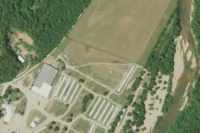
Primitive Camping
Campground · 4.3 mi · Eminence
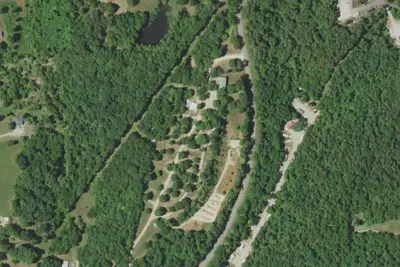
Camp site (Eminence Cottages and Camp)
Campground · 4.7 mi · Eminence
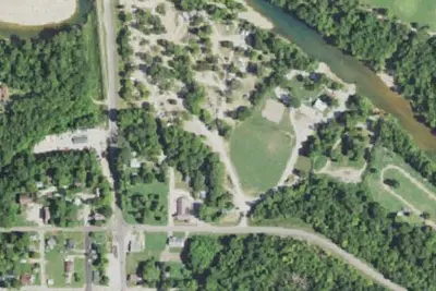
Broken Arrowhead Campground
Campground · 5.0 mi · Eminence
3 more within 25 mi
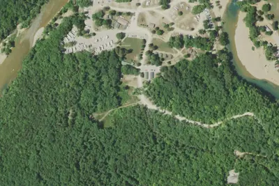
Dispersed camping nearby
Free dispersed camping within 19 mi, on public land.
Location and contact
Data from National Park Service — campgrounds (NPS Data API), OpenStreetMap, Recreation Information Database (RIDB) / Recreation.gov, Recreation.gov — campground rate cards
Something wrong here? Suggest an edit
Run this campground? Claim the listing