Two Lakes
Drummond, Wisconsin · 1,355 ft · In Chequamegon-Nicolet NF
Wildfire 30 mi E: Redhouse, 22 acres
At a glance
6 of 8 facts known · recreation.gov, checked Oct 3, 2026
- Elevation
- 1,355 ft (413 m)1,355 ft413 m
Sites94
Two Lakes lists no loops, so its sites are listed here. Pick a site to see its details.
- 001Standard · up to 8 people40 ft
- 002Standard · up to 8 people84 ft
- 003Standard · up to 8 people20 ft
- 004Standard · up to 8 people31 ft
- 005Standard · up to 8 people30 ft
- 006Standard · up to 8 people60 ft
- 007Standard · up to 8 people20 ft
- 008Standard · up to 8 people15 ft
- 009Standard · up to 8 people15 ft
- 010Standard · up to 8 people20 ft
Showing 10 of 94 · by site number
From recreation.gov's site list, Oct 10, 2026.
Amenities
From OpenStreetMap, Overture Maps Foundation — Places, Recreation.gov, Recreation.gov — campground rate cards, USDA Forest Service — Recreation Opportunities, USFS INFRA Recreation Sites · Correct
- Drinking water
- Dump station
- Reservations (accepted)
From OpenStreetMap, Overture Maps Foundation — Places, Recreation.gov, Recreation.gov — campground rate cards, USDA Forest Service — Recreation Opportunities, USFS INFRA Recreation Sites
You could be the first camper hereYou could be the first camper on this page
Stayed here? Share what the next camper should know.
Free account · no email needed to browse
About
Overview
Two Lakes Campground is nestled between Lake Owen and Bass Lake. Campsites are spacious and shaded by pine and mixed hardwoods, and most sites offer sweeping lake views.Recreation
Campers have access to two swimming beaches, two boat ramps and a fishing pier. Lake Owen and Bass Lake contain panfish, northern pike, walleye, bass and trout.
From OpenStreetMap, Overture Maps Foundation — Places, Recreation.gov, Recreation.gov — campground rate cards, USDA Forest Service — Recreation Opportunities, and USFS INFRA Recreation Sites · · Edit
Cell service
Report signal- VerizonNo coverage on FCC map
- AT&TNo coverage on FCC map
- T-Mobile4G LTE
Cell service at Two Lakes: FCC map Dec 2025
Weather
National Weather Service
- WedPartly Sunny55°30°
- ThuChance Rain Showers, 31% chance of rain56°33°
- FriChance Rain Showers, 41% chance of rain50°26°
- SatSunny59°36°
- SunSunny, 1% chance of rain65°37°
Nearby camping
SeeSee all on the map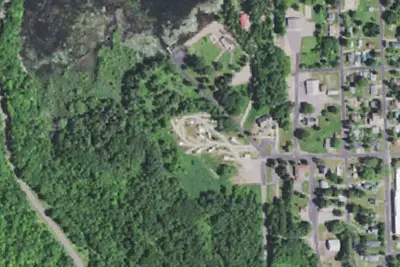
Camp site
Campground · 4.5 mi · Drummond
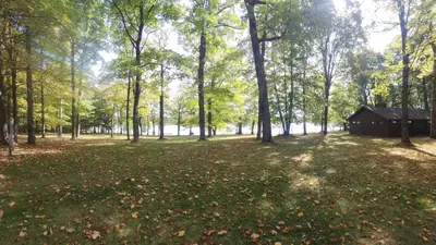
Namekagon
Public Land · 6.1 mi · Grand View
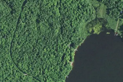
Namekagon Lake Recreation Area
Public Land · 6.2 mi · Grand View
3 more within 25 mi
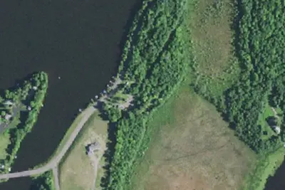
Dispersed camping nearby
Free dispersed camping within 19 mi, on public land.
- 8.3 mi
Rock Lake North
Cable, WI · On U.S. Forest Service land · Chequamegon National Forest
- 8.4 mi
Rock Lake East
Cable, WI · On U.S. Forest Service land · Chequamegon National Forest
- 8.8 mi
Camp site
Cable, WI · On National Park Service land · Saint Croix National Scenic Riverway
- 8.9 mi
Emerson Lake
Cable, WI · On U.S. Forest Service land · Chequamegon National Forest
- 10 mi
Camp site
Cable, WI · On U.S. Forest Service land · Chequamegon National Forest
- 10 mi
Camp site
Cable, WI · On U.S. Forest Service land · Chequamegon National Forest
Location and contact
Data from OpenStreetMap, Overture Maps Foundation — Places, Recreation Information Database (RIDB) / Recreation.gov, Recreation.gov — campground rate cards, USDA Forest Service — Recreation Opportunities, USFS INFRA Recreation Sites
Something wrong here? Suggest an edit
Run this campground? Claim the listing