Twin Lakes Campground
Mammoth Lakes, California · 8,599 ft · In Inyo National Forest
Photos: CLM
Photos taken nearby
From Wikimedia Commons, taken close to this campground — not necessarily pictures of it.
Wildfire 31 mi W: Dome, 6,788 acres, 95% contained
At a glance
5 of 8 facts known · recreation.gov, checked Sep 24, 2026
- Elevation
- 8,599 ft (2,621 m)8,599 ft2,621 m
Sites93
Twin Lakes Campground lists no loops, so its sites are listed here. Pick a site to see its details.
- 001Standard · up to 6 people30 ft
- 002Standard · up to 6 people30 ft
- 003Standard · up to 6 people29 ft
- 004Standard · up to 6 people29 ft
- 005Standard · up to 6 people28 ft
- 006Standard · up to 6 people28 ft
- 007Standard · up to 6 people26 ft
- 008Standard · up to 6 people26 ft
- 009Standard · up to 6 people28 ft
- 010Standard · up to 6 people28 ft
Showing 10 of 93 · by site number
From recreation.gov's site list, Oct 10, 2026: 1 staff entry left out.
Amenities
From OpenStreetMap, Overture Maps Foundation — Places, Recreation.gov, Recreation.gov — campground rate cards, USDA Forest Service — Recreation Opportunities, USFS INFRA Recreation Sites · Correct
- ADA accessible
- Campfires allowed
From OpenStreetMap, Overture Maps Foundation — Places, Recreation.gov, Recreation.gov — campground rate cards, USDA Forest Service — Recreation Opportunities, USFS INFRA Recreation Sites
You could be the first camper hereYou could be the first camper on this page
Stayed here? Share what the next camper should know.
Free account · no email needed to browse
About
Overview
Twin Lakes Campground is located in the eastern Sierra Nevada Mountains near the town of Mammoth Lakes, California. It offers lakeside camping with breathtaking scenery and many outdoor activities. The lake is a great base for fishing, boating, viewing waterfalls and hiking, and offers close proximity to the town's amenities.Recreation
The eastern Sierras are known for great trout fishing, and the 108-acre lakes are a prime location for it. Anglers can cast for rainbow, brook and brown trout while watching a waterfall tumble into the lake. The calm waters are also inviting for canoes and kayaks. Power boats must have electric motors.
From OpenStreetMap, Overture Maps Foundation — Places, Recreation.gov, Recreation.gov — campground rate cards, USDA Forest Service — Recreation Opportunities, and USFS INFRA Recreation Sites · · Edit
Cell service
Report signal- Verizon4G LTE
- AT&TNo coverage on FCC map
- T-Mobile5G · 4G LTE
Cell service at Twin Lakes Campground: FCC map Dec 2025
Weather
National Weather Service
- WedSunny52°34°
- ThuSunny51°35°
- FriSunny53°35°
- SatSunny54°35°
- SunSunny52°34°
Nearby camping
SeeSee all on the map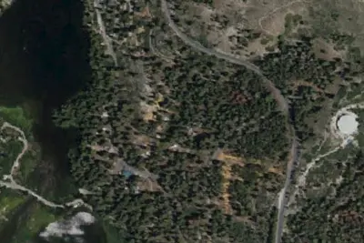
Twin Lakes Campground
Campground · 510 ft · Mammoth Lakes
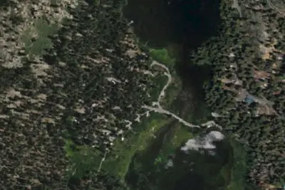
Twin Lakes Campground
Campground · 0.2 mi · Mammoth Lakes
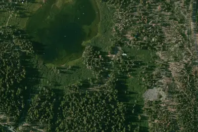
Twin Lakes Tract
Campground · 0.2 mi · Mammoth Lakes
3 more within 25 mi
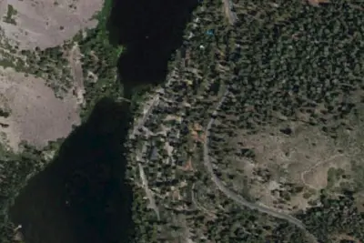
6 OpenStreetMap entries in Mammoth Lakes share one park. They may be individual sites of a single campground. Suggest a merge
Dispersed camping nearby
Free dispersed camping within 19 mi, on public land.
- 6.9 mi
Deadman Creek
June Lake, CA
- 7.0 mi
Laurel Ponds
Mammoth Lakes, CA
- 9.5 mi
Little Hot Creek
Mammoth Lakes, CA
- 10 mi
Camp site
Mammoth Lakes, CA · On U.S. Forest Service land · Sierra National Forest
- 10 mi
Camp site
Mammoth Lakes, CA · On U.S. Forest Service land · Sierra National Forest
- 10 mi
Camp site
Mammoth Lakes, CA · On U.S. Forest Service land · Sierra National Forest
Location and contact
Data from OpenStreetMap, Overture Maps Foundation — Places, Recreation Information Database (RIDB) / Recreation.gov, Recreation.gov — campground rate cards, USDA Forest Service — Recreation Opportunities, USFS INFRA Recreation Sites
Something wrong here? Suggest an edit
Run this campground? Claim the listing