Tunnel Mills II
Alta, California · 4,560 ft · In Tahoe National Forest
Photos: TNF
Wildfire 41 mi NE: Bull, 1,529 acres, 98% contained
At a glance
4 of 8 facts known · recreation.gov, checked Sep 24, 2026
- Elevation
- 4,560 ft (1,390 m)4,560 ft1,390 m
Loops0
Pick a loop to see its sites.
From recreation.gov's site list, Oct 10, 2026. Loop names are trimmed and merged.
Amenities
From Recreation.gov, Recreation.gov — campground rate cards · Correct
- Campfires allowed
- Toilets
From Recreation.gov, Recreation.gov — campground rate cards
You could be the first camper hereYou could be the first camper on this page
Stayed here? Share what the next camper should know.
Free account · no email needed to browse
About
Overview
Tunnel Mills Group Campground is located along the East Fork of the North Fork of the North Fork American River in the Tahoe National Forest. It can be accessed off of Interstate 80, at the Emigrant Gap exit. Visitors enjoy fishing, hiking and hunting in this scenic area.Recreation
Rainbow trout fishing is a popular activity on the river. Hiking and OHV trails and hunting opportunities are found in the surrounding area.Facilities
From Recreation.gov and Recreation.gov — campground rate cards · · Edit
Cell service
Report signal- Verizon4G LTE
- AT&TNo coverage on FCC map
- T-MobileNo coverage on FCC map
Cell service at Tunnel Mills II: FCC map Dec 2025
Weather
National Weather Service
- WedSunny70°55°
- ThuSunny72°58°
- FriSunny75°54°
- SatSunny70°51°
- SunSunny66°48°
Nearby camping
SeeSee all on the map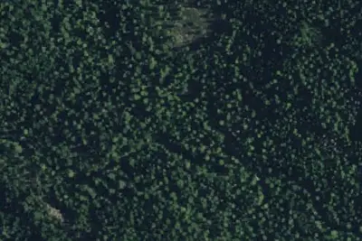
Tunnel Mills Group Campground
Public Land · under 100 ft · Alta
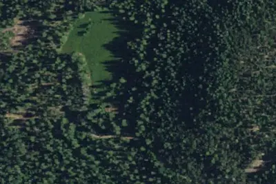
Onion Valley Campground
Public Land · 0.8 mi · Alta
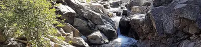
North Fork (Ca)
Public Land · 1.4 mi · Alta
3 more within 25 mi
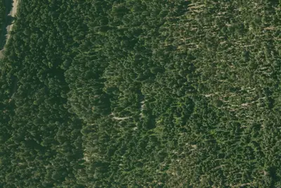
Dispersed camping nearby
Free dispersed camping within 19 mi, on public land.
Location and contact
Data from Recreation Information Database (RIDB) / Recreation.gov, Recreation.gov — campground rate cards
Something wrong here? Suggest an edit
Run this campground? Claim the listing