Tortilla Campground
Apache Junction, Arizona · 1,759 ft · In Tonto National Forest
Photos: TNF
At a glance
6 of 8 facts known · recreation.gov, checked Sep 24, 2026
- Elevation
- 1,759 ft (536 m)1,759 ft536 m
Sites76
Tortilla Campground lists no loops, so its sites are listed here. Pick a site to see its details.
- 1Standard · up to 10 people32 ft
- 2Standard · up to 10 people32 ft
- 3Standard · up to 10 people32 ft
- 4Standard · up to 10 people32 ft
- 5Standard · up to 10 people32 ft
- 6Standard · up to 10 people32 ft
- 7Standard · up to 10 people32 ft
- 8Standard · up to 10 people32 ft
- 9Standard · up to 10 people32 ft
- 10Standard · up to 10 people32 ft
Showing 10 of 76 · by site number
From recreation.gov's site list, Oct 10, 2026.
Amenities
From OpenStreetMap, Recreation.gov, Recreation.gov — campground rate cards, USDA Forest Service — Recreation Opportunities, USFS INFRA Recreation Sites · Correct
- Caravan / RV sites
- Hours (oct-mar)
From OpenStreetMap, Recreation.gov, Recreation.gov — campground rate cards, USDA Forest Service — Recreation Opportunities, USFS INFRA Recreation Sites
You could be the first camper hereYou could be the first camper on this page
Stayed here? Share what the next camper should know.
Free account · no email needed to browse
About
Overview
Tortilla Campground is a winter campground just outside of the Phoenix metropolitan area. From October through April each year, urban dwellers take advantage of cooler temperatures and enjoy boating, fishing, hiking, rock climbing and scenic driving throughout the surrounding Tonto National Forest. Campers awake to a scenic backdrop of rugged bluffs, saguaro cactus and desert skies. The campground is located directly across from Tortilla Flat Restaruant and general store, which is just a short walk away.
Recreation
The area is rich with human history, scenery and outdoor recreation. The campground lies along the Canyon Lake Apache Trail Scenic Byway, a former Apache Tribal route turned stagecoach road. Visitors may hear stories of lost cowboys and gold mining. The drive to the campground provides ample scenery and a vista point perfect for photography and wildlife viewing. The campground is just down the road from Canyon Lake which provides a number of recreational opportunites such as kayaking, fishing, and boating. The Superstition Wilderness has a well-developed trail system, and the western end of the wilderness receives heavy use during the cooler times of the year. Use caution as trail conditions can be fair or poor, and several are unsuitable for horses. Also make sure to check out many of the developed recreation sites along Canyon lake for shoreline and fishing dock access, but keep in mind these sites require a day pass not included in the camping fees.
From OpenStreetMap, Recreation.gov, Recreation.gov — campground rate cards, USDA Forest Service — Recreation Opportunities, and USFS INFRA Recreation Sites · · Edit
Cell service
Report signal- Verizon4G LTE
- AT&T5G · 4G LTE
- T-MobileNo coverage on FCC map
Cell service at Tortilla Campground: FCC map Dec 2025
Weather
National Weather Service
- TueSlight Chance Rain Showers, 19% chance of rain69°56°
- WedSunny70°55°
- ThuSunny81°65°
- FriSunny, 8% chance of rain78°60°
- SatChance Rain Showers, 28% chance of rain70°60°
Nearby camping
SeeSee all on the map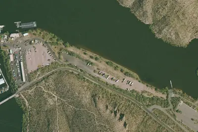
Canyon Lake Campground
Campground · 1.3 mi · Apache Junction
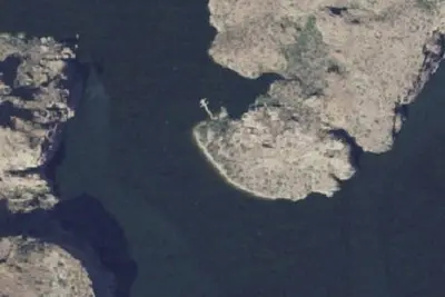
The Point Boat Dock, Campground and Picnic Area
Other · 2.0 mi · Apache Junction
The Point
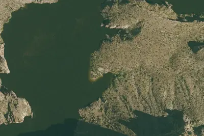
Public Land · 2.0 mi · Apache Junction
3 more within 25 mi
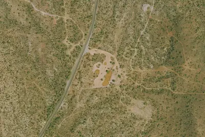
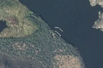
5 OpenStreetMap entries in Apache Junction share one park. They may be individual sites of a single campground. Suggest a merge
Dispersed camping nearby
Free dispersed camping within 19 mi, on public land.
- 6.3 mi
Camp site
Roosevelt, AZ · On U.S. Forest Service land · Tonto National Forest
- 9.9 mi
Camp site
Roosevelt, AZ · On U.S. Forest Service land · Tonto National Forest
- 10 mi
Camp site
Roosevelt, AZ · On U.S. Forest Service land · Tonto National Forest
- 10 mi
Camp site
Roosevelt, AZ · On U.S. Forest Service land · Tonto National Forest
- 10 mi
Camp site
Roosevelt, AZ · On U.S. Forest Service land · Tonto National Forest
- 11 mi
Camp site
Roosevelt, AZ · On U.S. Forest Service land · Tonto National Forest
Location and contact
Data from OpenStreetMap, Recreation Information Database (RIDB) / Recreation.gov, Recreation.gov — campground rate cards, USDA Forest Service — Recreation Opportunities, USFS INFRA Recreation Sites
Something wrong here? Suggest an edit
Run this campground? Claim the listing