Tompkins Bend Day-Use
Crystal Springs, Arkansas · 633 ft · In Lake Ouachita
Photos: USACE Lake Ouachita
At a glance
5 of 8 facts known · recreation.gov, checked Sep 24, 2026
- Elevation
- 633 ft (193 m)633 ft193 m
Sites1
Tompkins Bend Day-Use lists no loops, so its sites are listed here. Pick a site to see its details.
All 1 shown · by site number
From recreation.gov's site list, Oct 10, 2026.
Amenities
From Recreation.gov, Recreation.gov — campground rate cards · Correct
- ADA accessible
- Campfires allowed
- Drinking water
- Playground
From Recreation.gov, Recreation.gov — campground rate cards
You could be the first camper hereYou could be the first camper on this page
Stayed here? Share what the next camper should know.
Free account · no email needed to browse
About
Overview
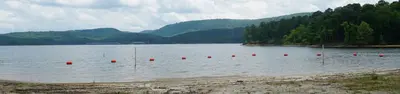
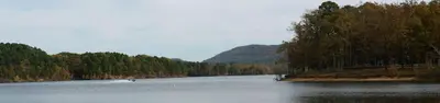
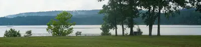
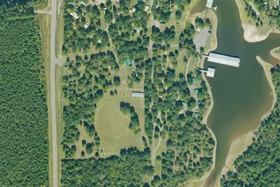
Tompkins Bend Day-Use Area on Lake Ouachita, is a great spot to getaway for the day. The combination of lush mountain scenery and wildlife, make this quiet location an ideal place for a family gathering, reunion, or group retreat.
Click here for the Lake Ouachita Virtual Tour.
From Recreation.gov and Recreation.gov — campground rate cards · · Edit
Cell service
Report signal- Verizon4G LTE
- AT&T4G LTE
- T-MobileNo coverage on FCC map
Cell service at Tompkins Bend Day-Use: FCC map Dec 2025
Weather
National Weather Service
- TueSunny, 11% chance of rain91°72°
- WedChance Showers And Thunderstorms, 28% chance of rain90°65°
- ThuSunny90°57°
- FriMostly Sunny, 5% chance of rain72°42°
- SatSunny69°40°
Nearby camping
SeeSee all on the map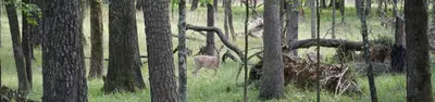
Tompkins Bend
Public Land · 340 ft · Crystal Springs
Joplin
Public Land · 1.7 mi · Crystal Springs
Denby Point
Public Land · 1.9 mi · Mount Ida
3 more within 25 mi

Dispersed camping nearby
Free dispersed camping within 19 mi, on public land.
Location and contact
Data from Recreation Information Database (RIDB) / Recreation.gov, Recreation.gov — campground rate cards
Something wrong here? Suggest an edit
Run this campground? Claim the listing