Tie City Campground
Laramie, Wyoming · 8,609 ft
Aerial view · USGS / USDA NAIP · Public domain · source
At a glance
2 of 8 facts known · Forest Service data, checked Oct 3, 2026
- Elevation
- 8,609 ft (2,624 m)8,609 ft2,624 m
Amenities
You could be the first camper hereYou could be the first camper on this page
Stayed here? Share what the next camper should know.
Free account · no email needed to browse
About
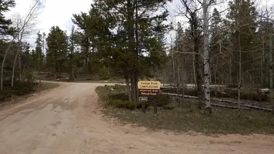
The campground is comprised of 17 campsites in a single tear-drop loop. Some sites are nestled in a dense grove of aspen, fir and spruce, others are in a grassy meadow. The interior road is narrow and rough in places. The campground is convenient to a network of challenging mountain bike trails. There are nearby corrals. Tie City was named for the railroad men who cut the ties for the Union Pacific Railroad from this forest. The South Fork of Lodgepole Creek runs close to the Tie City Campground and across the 719 road from Yellow Pine, which has good brook trout fishing.
Fees: Overnight Use:
From USDA Forest Service — Recreation Opportunities and USFS INFRA Recreation Sites · · Edit
Cell service
Report signal- Verizon5G · 4G LTE
- AT&T5G · 4G LTE
- T-Mobile4G LTE
Cell service at Tie City Campground: FCC map Dec 2025
Weather
National Weather Service
- WedAreas Of Fog, 85% chance of rain35°27°
- ThuSnow, 88% chance of rain37°21°
- FriWidespread Frost then Sunny44°30°
- SatSunny49°36°
- SunMostly Sunny, 1% chance of rain49°35°
Nearby camping
SeeSee all on the map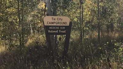
Tie City Campground (WY)
Public Land · 150 ft · Laramie
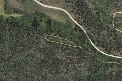
Pole Creek Dispersed Campground
Public Land · 1.0 mi · Laramie
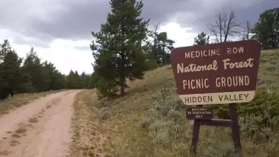
Hidden Valley Group Site
Public Land · 1.1 mi · Laramie
3 more within 25 mi
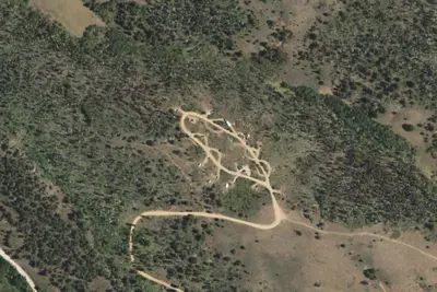
Dispersed camping nearby
Free dispersed camping within 19 mi, on public land.
Location and contact
Data from USDA Forest Service — Recreation Opportunities, USFS INFRA Recreation Sites
Something wrong here? Suggest an edit
Run this campground? Claim the listing