Three Sisters Group Site (MT)
Darby, Montana · 4,219 ft · In Bitterroot National Forest
Photos: Joe Butsick/Bitterroot National Forest
Wildfire 8 mi NW: North Fork Lost Horse, 118 acres, 70% contained
At a glance
5 of 8 facts known · recreation.gov, checked Sep 24, 2026
- Elevation
- 4,219 ft (1,286 m)4,219 ft1,286 m
Sites1
Three Sisters Group Site (MT) lists no loops, so its sites are listed here. Pick a site to see its details.
All 1 shown · by site number
From recreation.gov's site list, Oct 10, 2026.
Amenities
From OpenStreetMap, Recreation.gov, Recreation.gov — campground rate cards, USDA Forest Service — Recreation Opportunities, USFS INFRA Recreation Sites · Correct
- Picnic tables
- Reservations
- Toilets
From OpenStreetMap, Recreation.gov, Recreation.gov — campground rate cards, USDA Forest Service — Recreation Opportunities, USFS INFRA Recreation Sites
You could be the first camper hereYou could be the first camper on this page
Stayed here? Share what the next camper should know.
Free account · no email needed to browse
About
Overview
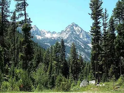
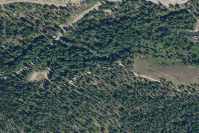
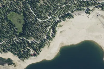
Three Sisters Group Site is located within the Lake Como Recreation Area on the Darby Ranger District of the Bitterroot National Forest. The group site, which is located across the road from the Rock Creek Horse Camp, is situated among the pine trees and is adjacent to the outlet of Lake Como.
Recreation
Boating, fishing, swimming and other water sports are popular on Lake Como. Anglers might see rainbow and cutthroat trout, as well as kokanee salmon, among other alpine species. A boat ramp and parking area are available at the south side of the lake. A large, sandy beach is available to visitors at the North side of the lake. To the West of the site on the North side, a short walk will take visitors to a trailhead that begins a 7-mile loop trail around Lake Como. The Lake Como National Recreation Loop Trail is suitable for hiking, mountain biking and accessing the lake for swimming or picnics. The first quarter-mile of the trail is wheelchair accessible and the trail also crosses Rock Creek at one point. Approximately 3.5 miles from the site, at the West end of the lake, is a magnificent waterfall that cascades over fern-covered rock cliffs. A trail continues from the waterfall, or heads west up Rock Creek, into the Selway-Bitterroot Wilderness area.
From OpenStreetMap, Recreation.gov, Recreation.gov — campground rate cards, USDA Forest Service — Recreation Opportunities, and USFS INFRA Recreation Sites · · Edit
Cell service
Report signal- Verizon4G LTE
- AT&T4G LTE
- T-MobileNo coverage on FCC map
Cell service at Three Sisters Group Site (MT): FCC map Dec 2025
Weather
National Weather Service
- TueSunny51°33°
- WedMostly Sunny, 2% chance of rain56°35°
- ThuSunny60°40°
- FriSunny68°42°
- SatSunny67°40°
Nearby camping
SeeSee all on the map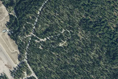
Rock Creek Horse Camp
Public Land · 330 ft · Darby
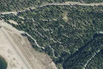
Camp site
Campground · 0.2 mi · Darby
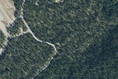
Lake Como 3
Dispersed · 0.2 mi · Darby
3 more within 25 mi
Dispersed camping nearby
Free dispersed camping within 19 mi, on public land.
- 0.2 mi
Lake Como 3
Darby, MT · On Bureau of Reclamation land · Lake Como
- 0.4 mi
Lake Como 004
Darby, MT · On Bureau of Reclamation land · Lake Como
- 1.1 mi
Drd-Como550rd-002
Darby, MT · On Bureau of Reclamation land · Lake Como
- 1.2 mi
Drd-Como550rd-003
Darby, MT · On Bureau of Reclamation land · Lake Como
- 1.3 mi
5621-005
Darby, MT
- 1.3 mi
5621-006
Darby, MT
Location and contact
Data from OpenStreetMap, Recreation Information Database (RIDB) / Recreation.gov, Recreation.gov — campground rate cards, USDA Forest Service — Recreation Opportunities, USFS INFRA Recreation Sites
Something wrong here? Suggest an edit
Run this campground? Claim the listing