Teton Reservoir Campground
Rawlins, Wyoming · 7,047 ft
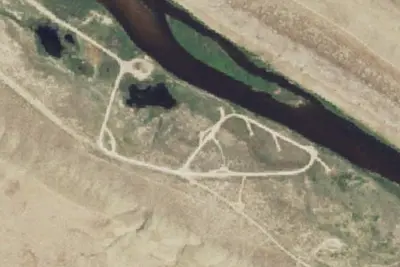
Aerial view · USGS / USDA NAIP · Public domain · source
At a glance
3 of 8 facts known · from OpenStreetMap and USGS
- Elevation
- 7,047 ft (2,148 m)7,047 ft2,148 m
- Land
- Rawlins Field Office
Bureau of Land Management
Amenities
You could be the first camper hereYou could be the first camper on this page
Stayed here? Share what the next camper should know.
Free account · no email needed to browse
About
Set in the rolling sage grasslands of the Great Divide Basin, this reservoir becomes a watery oasis under the bright summer skies. Fishing for trout in the reservoir and surrounding streams is good; this is also a popular non-motorized water sports area.
This is a free site with 5 campsites, vault toilets, boat ramp, and day use parking. Campsites have picnic tables, fire ring/grills, and parking spurs with no pull-throughs. No horses allowed in campground. Typical use season is from June 1st through November 15 because access roads become impassable after heavy rain and snow belt wherein they get extremely muddy.
From BLM National Recreation Sites & Facilities, OpenStreetMap, and Recreation.gov · Edit
Cell service
Report signal- VerizonNo coverage on FCC map
- AT&T4G LTE
- T-MobileNo coverage on FCC map
Cell service at Teton Reservoir Campground: FCC map Dec 2025
Weather
National Weather Service
- WedRain Showers, 82% chance of rain45°33°
- ThuChance Rain And Snow then Partly Sunny, 50% chance of rain44°23°
- FriWidespread Frost then Sunny55°31°
- SatSunny57°36°
- SunSunny57°37°
Nearby camping
SeeSee all on the map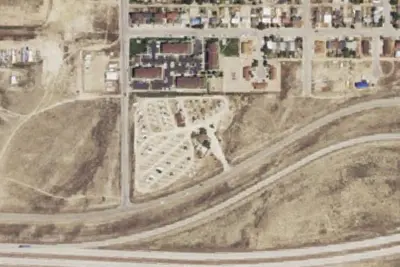
Rawlins KOA Journey
Campground · 12 mi · Rawlins
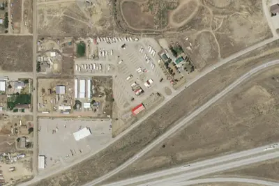
RV park
RV Park · 12 mi · Rawlins
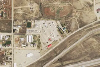
Red Desert Rose Campground
RV Park · 12 mi · Rawlins
3 more within 25 mi
Location and contact
Data from BLM National Recreation Sites & Facilities, OpenStreetMap, Recreation Information Database (RIDB) / Recreation.gov
Something wrong here? Suggest an edit
Run this campground? Claim the listing