Tamarack Point Campground
Bena, Minnesota · 1,309 ft · In Chippewa National Forest
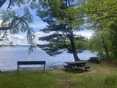
Tony Webster from Minneapolis, Minnesota, United States · CC BY-SA 2.0 · source
At a glance
4 of 8 facts known · Forest Service data, checked Oct 3, 2026
- Elevation
- 1,309 ft (399 m)1,309 ft399 m
- Land
- Chippewa National Forest
U.S. Forest Service
Amenities
From OpenStreetMap, Recreation.gov, USFS INFRA Recreation Sites · Correct
- Drinking water
From OpenStreetMap, Recreation.gov, USFS INFRA Recreation Sites
You could be the first camper hereYou could be the first camper on this page
Stayed here? Share what the next camper should know.
Free account · no email needed to browse
About
Tamarack Point campground is 13 miles north of Deer River on Highway 46. Turn west off 46 onto County Road 9. Travel south on County 9 for six miles before turning west onto Forest Road 2163. The campground is approximately five miles northwest on Forest Road 2163. There are 31 sites available at the campground with boat access and docking provided. | Site Map
From OpenStreetMap, Recreation.gov, and USFS INFRA Recreation Sites · Edit
Cell service
Report signal- Verizon4G LTE
- AT&T5G · 4G LTE
- T-MobileNo coverage on FCC map
Cell service at Tamarack Point Campground: FCC map Dec 2025
Weather
National Weather Service
- WedMostly Cloudy54°33°
- ThuSlight Chance Rain Showers, 16% chance of rain56°33°
- FriSlight Chance Rain Showers then Mostly Sunny, 24% chance of rain50°30°
- SatSunny61°39°
- SunSunny65°36°
Nearby camping
SeeSee all on the map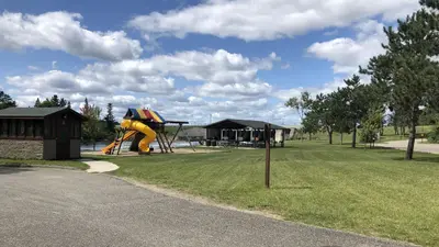
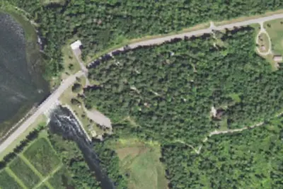
Winnie Dam Campground - USACE
Public Land · 3.5 mi · Ball Club
Winnie Dam - COE
Campground · 3.6 mi · Ball Club
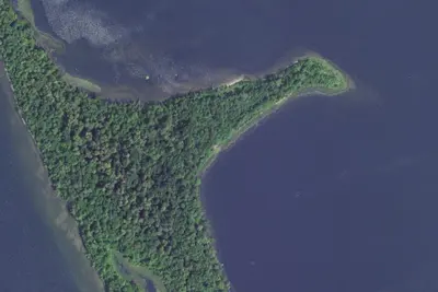
Cut Foot Dispersed Campsites
Public Land · 4.4 mi · Inger
3 more within 25 mi
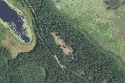
Dispersed camping nearby
Free dispersed camping within 19 mi, on public land.
Location and contact
Data from OpenStreetMap, Recreation Information Database (RIDB) / Recreation.gov, USFS INFRA Recreation Sites
Something wrong here? Suggest an edit
Run this campground? Claim the listing