Stump Creek Guard Station
Auburn, Idaho · 6,220 ft · In Caribou-Targhee National Forest
Photos: US Forest Service
At a glance
4 of 8 facts known · recreation.gov, checked Sep 24, 2026
- Elevation
- 6,220 ft (1,896 m)6,220 ft1,896 m
Sites1
Stump Creek Guard Station lists no loops, so its sites are listed here. Pick a site to see its details.
All 1 shown · by site number
From recreation.gov's site list, Oct 10, 2026.
Amenities
You could be the first camper hereYou could be the first camper on this page
Stayed here? Share what the next camper should know.
Free account · no email needed to browse
About
Overview
Stump Creek Guard Station is located along what was once the Lander Cutoff for the Oregon Trail. Visitors can trace the path that covered wagons
traveled on over 150 years ago on their way to the Pacific Northwest. Wagon ruts are still carved into the soil.
From Recreation.gov, Recreation.gov — campground rate cards, and USDA Forest Service — Recreation Opportunities · · Edit
Cell service
Report signal- Verizon4G LTE
- AT&TNo coverage on FCC map
- T-MobileNo coverage on FCC map
Cell service at Stump Creek Guard Station: FCC map Dec 2025
Weather
National Weather Service
- WedAreas Of Fog then Mostly Sunny, 1% chance of rain55°27°
- ThuSunny60°27°
- FriSunny63°30°
- SatSunny62°32°
- SunSunny61°34°
Nearby camping
SeeSee all on the map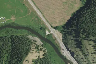
Camp site
Campground · 6.2 mi · Bedford
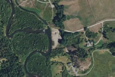
Camp site
Campground · 7.3 mi · Thayne
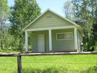
Johnson Guard Station
Public Land · 8.2 mi · Auburn
3 more within 25 mi
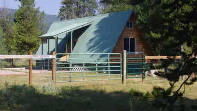
Dispersed camping nearby
Free dispersed camping within 19 mi, on public land.
Location and contact
Data from Recreation Information Database (RIDB) / Recreation.gov, Recreation.gov — campground rate cards, USDA Forest Service — Recreation Opportunities
Something wrong here? Suggest an edit
Run this campground? Claim the listing