Stony Cabin
Philipsburg, Montana · 4,823 ft · In Beaverhead-Deerlodge National Forest
Photos: T.Adams
Wildfire 17 mi S: Moose, 6,005 acres, 37% contained
At a glance
4 of 8 facts known · recreation.gov, checked Sep 24, 2026
- Elevation
- 4,823 ft (1,470 m)4,823 ft1,470 m
Sites1
Stony Cabin lists no loops, so its sites are listed here. Pick a site to see its details.
All 1 shown · by site number
From recreation.gov's site list, Oct 10, 2026.
Amenities
You could be the first camper hereYou could be the first camper on this page
Stayed here? Share what the next camper should know.
Free account · no email needed to browse
About
Overview
Stony Cabin is a small primitive cabin that was built in 1914 as a place for Forest Service employees to sleep while working in the area. The cabin is situated close to Stony Creek Road and across the street from Stony Creek Campground. It is not remote but ideal for those who want to stay in a cabin while friends camp across the street at the campground.
It provides access to Rock Creek, a Blue Ribbon Trout Stream, and Stony Creek. The cabin is within close proximity to a variety of hiking and biking trails also. Guests can enjoy winter recreation on those same trails when there is snow in the area, typically from December until April of each year. The cabin is available all year, offering the opportunity to experience the backcountry of western Montana in all seasons.
From Recreation.gov, Recreation.gov — campground rate cards, and USDA Forest Service — Recreation Opportunities · · Edit
Cell service
Report signalFCC map: no coverage reported
- VerizonNo coverage on FCC map
- AT&TNo coverage on FCC map
- T-MobileNo coverage on FCC map
Cell service at Stony Cabin: FCC map Dec 2025
Weather
National Weather Service
- WedWidespread Frost then Mostly Sunny, 2% chance of rain55°29°
- ThuWidespread Frost then Sunny57°32°
- FriSunny66°38°
- SatSunny66°36°
- SunSunny, 1% chance of rain61°38°
Nearby camping
SeeSee all on the map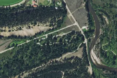
Stony Creek Campground
Public Land · 0.1 mi · Philipsburg
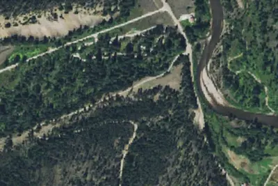
Moose Gulch Rd-003
Dispersed · 0.1 mi · Philipsburg
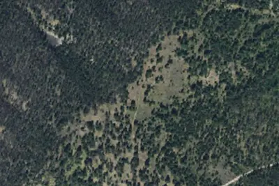
Moose Gulch Rd-002
Dispersed · 1.0 mi · Philipsburg
3 more within 25 mi
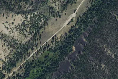
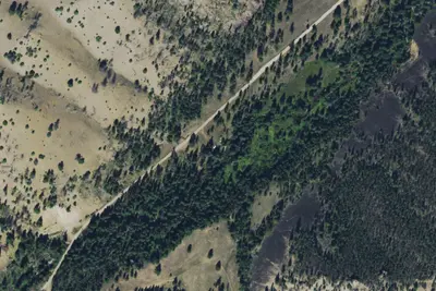
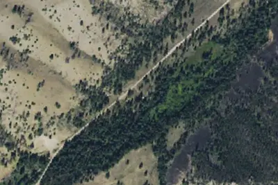
Dispersed camping nearby
Free dispersed camping within 19 mi, on public land.
Location and contact
Data from Recreation Information Database (RIDB) / Recreation.gov, Recreation.gov — campground rate cards, USDA Forest Service — Recreation Opportunities
Something wrong here? Suggest an edit
Run this campground? Claim the listing