Steer Creek Campground
Barley, Nebraska · 3,054 ft
Aerial view · USGS / USDA NAIP · Public domain · source
At a glance
3 of 8 facts known · Forest Service data, checked Oct 3, 2026
- Elevation
- 3,054 ft (931 m)3,054 ft931 m
- Land
- Samuel R. McKelvie National Forest
U.S. Forest Service
Amenities
You could be the first camper hereYou could be the first camper on this page
Stayed here? Share what the next camper should know.
Free account · no email needed to browse
About
Tucked in the shade of ponderosa pines planted in the early 1900's, this 23-unit campground is in the southeast corner of the Samuel R. McKelvie National Forest. A hand water pump, picnic tables, fire rings, and modern vault toilets make this an attractive base from which to explore the Sandhills. The Blue Jay Trail, a one-mile nature loop, starts and ends at the campground. For horseback riders, a corral with stalls is available, with a manure bunk nearby. We ask that horses not be in individual campsites unless being saddled.
Fees: Overnight Use:
From OpenStreetMap, USDA Forest Service — Recreation Opportunities, and USFS INFRA Recreation Sites · · Edit
Cell service
Report signalFCC map: no coverage reported
- VerizonNo coverage on FCC map
- AT&TNo coverage on FCC map
- T-MobileNo coverage on FCC map
Cell service at Steer Creek Campground: FCC map Dec 2025
Weather
National Weather Service
- TuePartly Sunny, 1% chance of rain54°36°
- WedPartly Sunny then Chance Rain Showers, 41% chance of rain55°37°
- ThuRain Showers, 88% chance of rain57°30°
- FriWidespread Frost then Sunny57°35°
- SatSunny72°44°
Nearby camping
SeeSee all on the map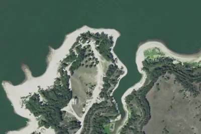
Location and contact
Data from OpenStreetMap, USDA Forest Service — Recreation Opportunities, USFS INFRA Recreation Sites
Something wrong here? Suggest an edit
Run this campground? Claim the listing