St. Charles Campground
Beulah Valley, Colorado · 8,691 ft
Aerial view · USGS / USDA NAIP · Public domain · source
Wildfire 0.6 mi N: Aspen Acres, 102,007 acres, 90% contained
At a glance
3 of 8 facts known · Forest Service data, checked Oct 3, 2026
- Elevation
- 8,691 ft (2,649 m)8,691 ft2,649 m
Amenities
You could be the first camper hereYou could be the first camper on this page
Stayed here? Share what the next camper should know.
Free account · no email needed to browse
About
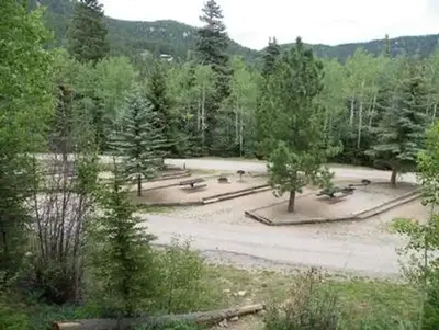
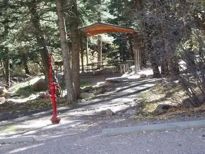
St. Charles Campground is a developed campground with the following attractions: hiking, fishing and boating. On Lake Isabel only non-motorized boats are permitted. St Charles Creek runs through the campground and may be fished. Access to motorized and non-motorized trails including Cisneros, St. Charles, and Snowslide.Reservations for ten of the 15 sites are required. Five sites are available on a first-come, first-served basis.NOTE: This is a non-electric campground. All dates are weather dependent. Dates of operation below are dates visitors may expect full service. The area also has an extended season when services such as water, trash or a host may not be available between May 7, 2021 and October 11, 2021.
From Overture Maps Foundation — Places, USDA Forest Service — Recreation Opportunities, and USFS INFRA Recreation Sites · Edit
Cell service
Report signalFCC map: no coverage reported
- VerizonNo coverage on FCC map
- AT&TNo coverage on FCC map
- T-MobileNo coverage on FCC map
Cell service at St. Charles Campground: FCC map Dec 2025
Weather
National Weather Service
- WedSlight Chance T-storms, 86% chance of rain42°28°
- ThuPartly Sunny then Chance Snow Showers, 40% chance of rain38°23°
- FriSunny, 4% chance of rain40°27°
- SatSunny53°35°
- SunMostly Sunny, 13% chance of rain51°34°
Nearby camping
SeeSee all on the map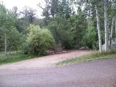
St Charles Campground - Lake Isabel
Public Land · 0.2 mi · Beulah Valley
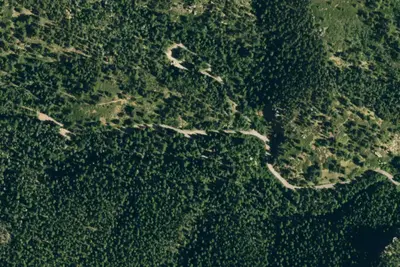
Ponderosa Group Campground
Public Land · 0.3 mi · Beulah Valley
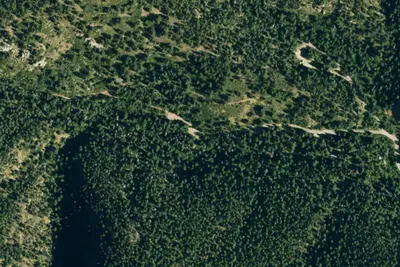
Spruce Group Campground
Public Land · 0.4 mi · Beulah Valley
3 more within 25 mi
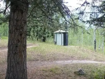
3 OpenStreetMap entries in Beulah Valley share one park. They may be individual sites of a single campground. Suggest a merge
Location and contact
Data from Overture Maps Foundation — Places, USDA Forest Service — Recreation Opportunities, USFS INFRA Recreation Sites
Something wrong here? Suggest an edit
Run this campground? Claim the listing