Southwest Campground - Winter/Spring
Mineral, California · 6,703 ft · In Lassen Volcanic National Park
Photos: NPS photo
Wildfire 48 mi W: Blue, 38 acres
At a glance
4 of 8 facts known · nps.gov, checked Sep 24, 2026
- Elevation
- 6,703 ft (2,043 m)6,703 ft2,043 m
- Land
- Lassen Volcanic National Park
National Park Service
Other campgrounds in Lassen Volcanic National Park 9
Nearest first. This park is spread out: the closest is 6 miles away.
- D-19Campground · facts not yet known6.3 mi
- Manzanita Lake4 loops · Manzanita Loop A, Manzanita Loop B, Manzanita Loop C, Manzanita Loop D · 179 sites · $15–$26 a night · Reserve on Recreation.gov6.6 mi
- Manzanita Lake Camping Cabins (CA)2 loops · MANZANITA LAKE CAMPING CABINS and Manzanita Glamping Tents · $88–$149 a night · Reserve on Recreation.gov6.6 mi
- Summit Lake South3 loops · Loop C, Loop D, Loop E · 49 sites · $15–$22 a night · Reserve on Recreation.gov6.9 mi
- Summit Lake North2 loops · Loop A and Loop B · 46 sites · $24 a night · Reserve on Recreation.gov7.0 mi
- Warner Valley Campground17 sites · $21 a night · Reserve on Recreation.gov7.3 mi
Also in the park: 8 group areas · Run by another agency: Rocky Campground 4.5 mi · 1 backcountry camp · 1 single site
Open the park pageAmenities
From National Park Service — campgrounds, OpenStreetMap, Recreation.gov · Correct
- Tent sites
From National Park Service — campgrounds, OpenStreetMap, Recreation.gov
You could be the first camper hereYou could be the first camper on this page
Stayed here? Share what the next camper should know.
Free account · no email needed to browse
About
The Southwest Walk-in Campground is located on the east side of the Kohm Yah-mah-nee Visitor Center parking area. When snow is present, approximately November to May, overnight stays are only allowed in self-contained vehicles in the parking lot (walk-in tent sites are closed in winter). Regulations change and the walk-in tent sites are open when the snow melts, approximately June to October.
From National Park Service — campgrounds, OpenStreetMap, and Recreation.gov · Edit
Cell service
Report signalFCC map: no coverage reported
- VerizonNo coverage on FCC map
- AT&TNo coverage on FCC map
- T-MobileNo coverage on FCC map
Cell service at Southwest Campground - Winter/Spring: FCC map Dec 2025
Weather
National Weather Service
- TueSunny59°39°
- WedSunny66°44°
- ThuSunny66°44°
- FriSunny70°43°
- SatSunny65°40°
Nearby camping
SeeSee all on the mapOutside the park, nearest first.
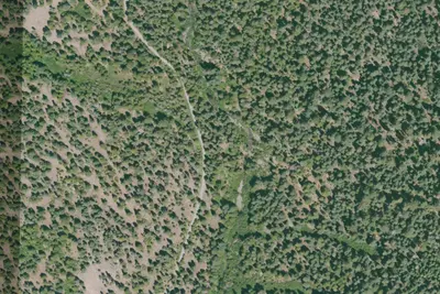
Camp site (None)
Dispersed · 4.9 mi · Mineral
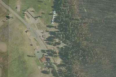
RV park
RV Park · 5.7 mi · Mineral
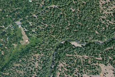
Mill Creek - Private
Public Land · 7.9 mi · Mineral
3 more within 25 mi
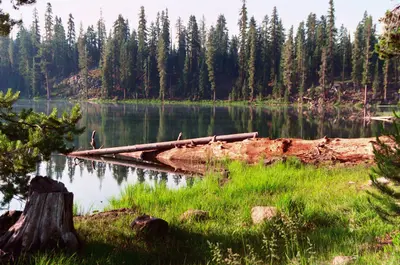
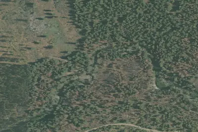
Dispersed camping nearby
Free dispersed camping within 19 mi, on public land.
Location and contact
Data from National Park Service — campgrounds (NPS Data API), OpenStreetMap, Recreation Information Database (RIDB) / Recreation.gov
Something wrong here? Suggest an edit
Run this campground? Claim the listing