Southshore Campground
Detroit, Oregon · 1,611 ft
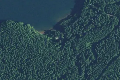
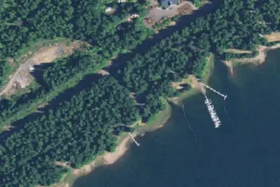
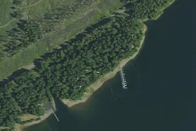
Aerial view · USGS / USDA NAIP · Public domain · source
Wildfire 22 mi N: Austin, 12,888 acres, 98% contained
At a glance
3 of 8 facts known · Forest Service data, checked Oct 3, 2026
- Elevation
- 1,611 ft (491 m)1,611 ft491 m
Amenities
From OpenStreetMap, USDA Forest Service — Recreation Opportunities, USFS INFRA Recreation Sites · Correct
- Caravan / RV sites
- Drinking water
- Tent sites
From OpenStreetMap, USDA Forest Service — Recreation Opportunities, USFS INFRA Recreation Sites
You could be the first camper hereYou could be the first camper on this page
Stayed here? Share what the next camper should know.
Free account · no email needed to browse
About
At an elevation of 1,604 ft., Southshore Campground is located on the south shore of Detroit Lake, a little west and south of Pretty Knob Island. A mix of wooded and open sites are available, located a little further away from the busier portions of Detroit Lake. You 'll find quiet camping on all but the busiest weekends. The campground offers 25 single and five double family campsites. There are vault toilets and drinking water onsite. Coin operated showers are available a mile away at Cove Creek. Detroit Lake is a popular destination for boating, jet skiing, swimming and fishing. Rainbow trout, Kokanee salmon and catfish are found in the lake. A boat ramp and dock are located next to the campground. Additional hiking trails can be found across the lake, including those that lead to Dome Rock and Needle Rock. The town of Detroit is across the lake with hometown activities. The Cascading Rivers Bikeway is a draw for cyclists. In the day use area, there is about 1,000 ft. of shoreline. There is a dock for launching, loading and unloading only. There is no mooring allowed.
Fees: Overnight Use:
From OpenStreetMap, USDA Forest Service — Recreation Opportunities, and USFS INFRA Recreation Sites · · Edit
Cell service
Report signal- Verizon4G LTE
- AT&T5G · 4G LTE
- T-Mobile5G · 4G LTE
Cell service at Southshore Campground: FCC map Dec 2025
Weather
National Weather Service
- TueMostly Sunny, 1% chance of rain68°43°
- WedSunny, 6% chance of rain72°46°
- ThuSunny78°48°
- FriSunny82°46°
- SatChance Light Rain, 35% chance of rain63°39°
Nearby camping
SeeSee all on the map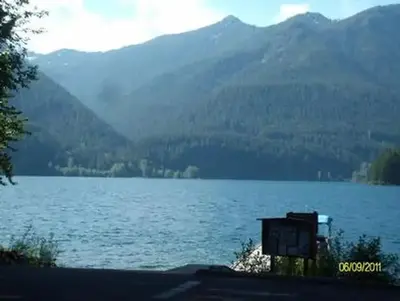
Southshore at Detroit Lake - Willamette (OR)
Public Land · under 100 ft · Detroit
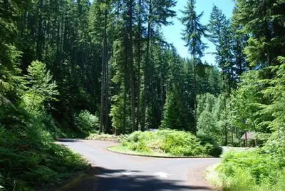
Cove Creek Group Campsite
Campground · 0.8 mi · Detroit
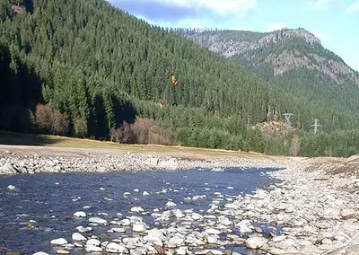
Cove Creek (OR)
Public Land · 1.0 mi · Detroit
3 more within 25 mi
Dispersed camping nearby
Free dispersed camping within 19 mi, on public land.
- 11 mi
Camp site
Idanha, OR · On U.S. Forest Service land · Willamette National Forest
- 11 mi
Camp site
Idanha, OR · On U.S. Forest Service land · Willamette National Forest
- 17 mi
Camp site
Detroit, OR · On Bureau of Land Management land · Nw Oregon Cascades Field Office
- 17 mi
Camp site
Detroit, OR · On Bureau of Land Management land · Nw Oregon Cascades Field Office
- 17 mi
Camp site
Detroit, OR · On Bureau of Land Management land · Nw Oregon Cascades Field Office
Location and contact
Data from OpenStreetMap, USDA Forest Service — Recreation Opportunities, USFS INFRA Recreation Sites
Something wrong here? Suggest an edit
Run this campground? Claim the listing