South Temple Wash
Green River, Utah · 5,315 ft · In San Rafael Swell Recreation Area
Photos: BLM
At a glance
3 of 8 facts known · recreation.gov, checked Oct 3, 2026
- Elevation
- 5,315 ft (1,620 m)5,315 ft1,620 m
Sites12
South Temple Wash lists no loops, so its sites are listed here. Pick a site to see its details.
From recreation.gov's site list, Oct 10, 2026.
Amenities
You could be the first camper hereYou could be the first camper on this page
Stayed here? Share what the next camper should know.
Free account · no email needed to browse
About
Overview
South Temple Wash is a fee campground in the San Rafael Swell Recreation Area.
Recreation
South Temple Wash campground is located along the Temple Mountain Road on the east side of the Reef. A short distance back to the east of the campground is the turn to go to Goblin Valley State Park. Turning west before the entrance of the state park will lead to Little Wild Horse Canyon, a popular hike for many in a slot canyon. From the campground and driving west on the Temple Mountain Road will lead to the Temple Mountain Pictograph Panel, a short drive further is Temple Mountain Townsite. Here visitors can hike to reclaimed uranium mines. Opposite Temple Mountain Townsite is The Behind-the-Reef Road and it is accessible to most vehicles for six miles, accessing several trailheads for hikes into the San Rafael Reef Wilderness. Two of these (Chute Canyon and Wild Horse Canyon) are accessible for horseback riders. The road continues for another 14 miles requiring high clearance and four-wheel-drive as it follows the rugged base of the reef against a backdrop of 500-foot cliffs and jagged canyons. After about seven miles, the road narrows to a maximum vehicle width of 50 feet. More wilderness slot canyons hikes can be accessed from this road. Motorized vehicle use is not permitted in wilderness.
From BLM National Recreation Sites & Facilities, Recreation.gov, and Recreation.gov — campground rate cards · · Edit
Cell service
Report signalFCC map: no coverage reported
- VerizonNo coverage on FCC map
- AT&TNo coverage on FCC map
- T-MobileNo coverage on FCC map
Cell service at South Temple Wash: FCC map Dec 2025
Weather
National Weather Service
- WedChance Rain Showers, 68% chance of rain52°37°
- ThuSunny, 4% chance of rain57°39°
- FriSunny59°40°
- SatMostly Sunny59°41°
- SunSunny62°42°
Nearby camping
SeeSee all on the map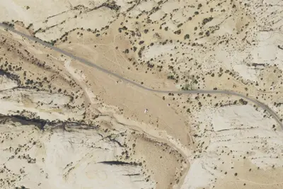
Temple Mountain Campground East
Public Land · under 100 ft · Green River
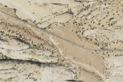
Site 12 Group Site
Campground · 460 ft · Green River
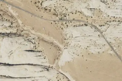
Site 1 Group Site
Campground · 520 ft · Green River
3 more within 25 mi
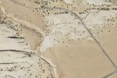
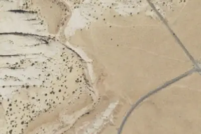
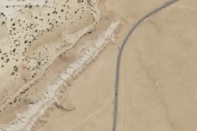
6 OpenStreetMap entries in Green River share one park. They may be individual sites of a single campground. Suggest a merge
Dispersed camping nearby
Free dispersed camping within 19 mi, on public land.
- 0.2 mi
Camp site
Green River, UT · On Bureau of Land Management land · Price Field Office
- 0.3 mi
Camp site
Green River, UT · On Bureau of Land Management land · Price Field Office
- 0.4 mi
Camp site
Green River, UT · On Bureau of Land Management land · Price Field Office
- 0.5 mi
Camp site
Green River, UT · On Bureau of Land Management land · Price Field Office
- 0.7 mi
Primitive Camping Area
Green River, UT · On Bureau of Land Management land · Price Field Office
- 0.8 mi
Camp site
Green River, UT · On Bureau of Land Management land · Price Field Office
Location and contact
Data from BLM National Recreation Sites & Facilities, Recreation Information Database (RIDB) / Recreation.gov, Recreation.gov — campground rate cards
Something wrong here? Suggest an edit
Run this campground? Claim the listing