South Shore Group Sites
Culver, Oregon · 2,877 ft · In Ochoco National Forest & Crooked River National Grassland
Wildfire 10 mi NW: Bench, 67,071 acres, 90% contained
At a glance
3 of 8 facts known · from OpenStreetMap and USGS
- Elevation
- 2,877 ft (877 m)2,877 ft877 m
- Land
- Ochoco National Forest & Crooked River National Grassland
Sites2
South Shore Group Sites lists no loops, so its sites are listed here. Pick a site to see its details.
All 2 shown · by site number
From recreation.gov's site list.
Amenities
You could be the first camper hereYou could be the first camper on this page
Stayed here? Share what the next camper should know.
Free account · no email needed to browse
About
Overview
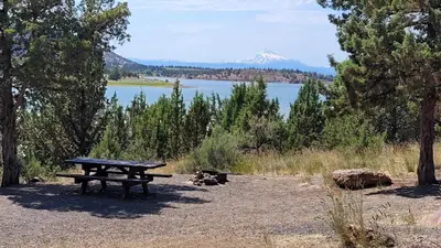
Haystack South Shore Group Campground is the only group campground on Haystack Reservoir. Each of the two campsites holds up to 50 people. This is a year-round facility ideal for large events such as family reunions or groups of rock climbers visiting nearby Smith Rock State Park. Natural Features:
From Recreation.gov and USDA Forest Service — Recreation Opportunities · · Edit
Cell service
Report signal- Verizon4G LTE
- AT&T4G LTE
- T-Mobile5G · 4G LTE
Cell service at South Shore Group Sites: FCC map Dec 2025
Weather
National Weather Service
- WedSunny, 2% chance of rain67°41°
- ThuSunny70°45°
- FriSunny79°44°
- SatMostly Sunny, 1% chance of rain65°38°
- SunMostly Sunny, 3% chance of rain64°41°
Nearby camping
SeeSee all on the map
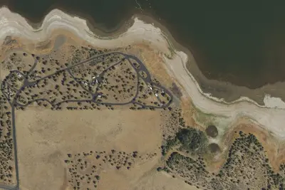
South Shore Group Campground
Public Land · under 100 ft · Culver
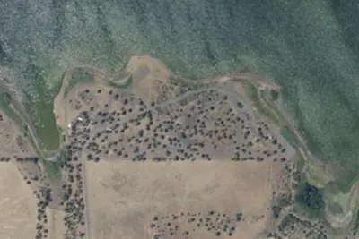
Cottonwood Group Site
Campground · 230 ft · Culver
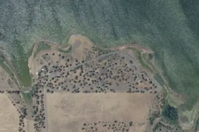
Juniper Group Site
Campground · 280 ft · Culver
3 more within 25 mi
Location and contact
Data from Recreation Information Database (RIDB) / Recreation.gov, USDA Forest Service — Recreation Opportunities
Something wrong here? Suggest an edit
Run this campground? Claim the listing