Southfork Campground
Piñon Hills, California · 4,567 ft
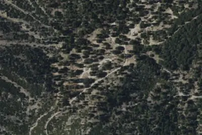
Aerial view · USGS / USDA NAIP · Public domain · source
At a glance
3 of 8 facts known · Forest Service data, checked Oct 3, 2026
- Elevation
- 4,567 ft (1,392 m)4,567 ft1,392 m
- Land
- Angeles National Forest
U.S. Forest Service
Amenities
You could be the first camper hereYou could be the first camper on this page
Stayed here? Share what the next camper should know.
Free account · no email needed to browse
About
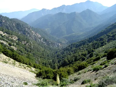
At a Glance: This site not regularly maintained. 4,500-foot elevation21 sites RV 's up to 16 'No water Vault toilets Campsites are first-come, first-served What to Expect South Fork Campground on the backside of the San Gabriel Mountains is a hidden gem in the Mojave Desert. Tucked in the middle of steep canyon walls descending from Mt. Islip from the South and Vazquez Rocks in the North, this campground offers 21 spacious sites of year-round tranquility. Each site comes with a fire-ring and grill to huddle around and cook those family campfire meals. Additionally, each site comes with a picnic bench should your group decide a game of cards is in order. After an evening around the fire, the South Fork Campground offers hiking and horseback riding to some of the most beautiful features in the San Gabriel's. Campers turned hikers can travel south along Big Rock Creek towards Islip Saddle and see seasonal waterfalls or spot a Nelson's Big Horn Ram. What 's more, hikers can head east along the Manzanita Trail towards Vincent 's Gap or west to the Devil 's Punchbowl - one of the most geologically interesting places in Los Angeles County. Regardless of the time of the year, visitors can find a trail that suits their needs and experience level. If hiking is in 't your "thing," South Fork Campground delivers excellent snow play, fishing, and stargazing.
Fees: Overnight Use:
From OpenStreetMap, Overture Maps Foundation — Places, USDA Forest Service — Recreation Opportunities, and USFS INFRA Recreation Sites · · Edit
Cell service
Report signalFCC map: no coverage reported
- VerizonNo coverage on FCC map
- AT&TNo coverage on FCC map
- T-MobileNo coverage on FCC map
Cell service at Southfork Campground: FCC map Dec 2025
Weather
National Weather Service
- WedSunny65°55°
- ThuSunny65°57°
- FriSunny69°55°
- SatSunny68°54°
- SunSunny68°54°
Nearby camping
SeeSee all on the map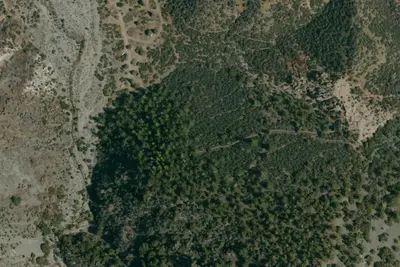
Southfork Group Campground
Public Land · 350 ft · Piñon Hills
Southfork Campground
Public Land · 0.1 mi · Piñon Hills
Sycamore Flat Campground
Public Land · 1.4 mi · Piñon Hills
3 more within 25 mi
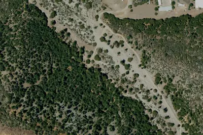
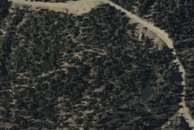
4 OpenStreetMap entries in Piñon Hills share one park. They may be individual sites of a single campground. Suggest a merge
Dispersed camping nearby
Free dispersed camping within 19 mi, on public land.
- 11 mi
Camp site
Acton, CA · On U.S. Forest Service land · Angeles National Forest
- 12 mi
Camp site
Acton, CA · On U.S. Forest Service land · Angeles National Forest
- 12 mi
Pacifico Mountain Campground
Acton, CA · On U.S. Forest Service land · Angeles National Forest
- 13 mi
Paiute Canyon Yellow Post Sites
Wrightwood, CA
- 14 mi
Camp Hachey 2
Wrightwood, CA · On U.S. Forest Service land · San Bernardino National Forest
- 15 mi
Camp Hachey 1
Wrightwood, CA · On U.S. Forest Service land · San Bernardino National Forest
Location and contact
Data from OpenStreetMap, Overture Maps Foundation — Places, USDA Forest Service — Recreation Opportunities, USFS INFRA Recreation Sites
Something wrong here? Suggest an edit
Run this campground? Claim the listing