Slate Creek Campground
Fontenelle, Wyoming · 6,378 ft
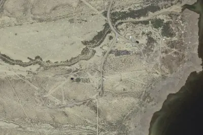
Aerial view · USGS / USDA NAIP · Public domain · source
Photos taken nearby
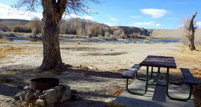
From Wikimedia Commons, taken close to this campground — not necessarily pictures of it.
At a glance
2 of 8 facts known · from OpenStreetMap and USGS
- Elevation
- 6,378 ft (1,944 m)6,378 ft1,944 m
- Land
- Usbr
Bureau of Reclamation
Amenities
You could be the first camper hereYou could be the first camper on this page
Stayed here? Share what the next camper should know.
Free account · no email needed to browse
About
The Slate Creek campground is just south of the shores of Fontenelle Reservoir, on the Green River, and just north of Seedskadee National Wildlife Refuge. The area is a mecca for birdwatching and fishing. Free facilities for this area include designated camping sites, 2 ADA accessible vault toilets, picnic areas and fishing access to the Green River. This site is near historic resources. Please do not collect or damage these resources.
From BLM National Recreation Sites & Facilities and Recreation.gov · Edit
Cell service
Report signal- VerizonNo coverage on FCC map
- AT&TNo coverage on FCC map
- T-Mobile4G LTE
Cell service at Slate Creek Campground: FCC map Dec 2025
Weather
National Weather Service
- WedSlight Chance Rain Showers, 18% chance of rain55°31°
- ThuMostly Sunny54°24°
- FriSunny54°24°
- SatSunny60°26°
- SunSunny59°27°
Nearby camping
SeeSee all on the map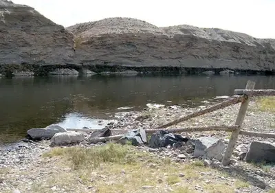
Location and contact
Data from BLM National Recreation Sites & Facilities, Recreation Information Database (RIDB) / Recreation.gov
Something wrong here? Suggest an edit
Run this campground? Claim the listing