Slabtown Recreation Area
Licking, Missouri · 889 ft
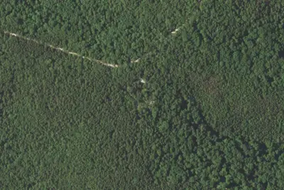
Aerial view · USGS / USDA NAIP · Public domain · source
At a glance
3 of 8 facts known · Forest Service data, checked Oct 3, 2026
- Elevation
- 889 ft (271 m)889 ft271 m
- Land
- Mark Twain National Forest
U.S. Forest Service
Amenities
You could be the first camper hereYou could be the first camper on this page
Stayed here? Share what the next camper should know.
Free account · no email needed to browse
About
This is a small, quiet access and camping area along the Big Piney River. Slabtown is downriver from Mason Bridge, about 8 miles. This stretch is more open and deeper. Traveling downriver from Slabtown you can paddle or boat to Ross Bridge, a 10 mile trip. This section is faster and shallower. Between Ross Bridge and <a href="https://www.fs.usda.gov/recarea/mtnf/recarea/?recid=21814">East Gate</a>, a 12-mile float, you will be floating through Fort Leonard Wood. Ross Bridge will be the last take-out before you float through Fort Leonard Wood. The 1-mile Slabtown Bluff Trail offers hiking along scenic bluffs overlooking the Big Piney River and surrounding bluffs and rock outcrops.
Fees: No fees are required for this site
From OpenStreetMap, USDA Forest Service — Recreation Opportunities, and USFS INFRA Recreation Sites · Edit
Cell service
Report signalFCC map: no coverage reported
- VerizonNo coverage on FCC map
- AT&TNo coverage on FCC map
- T-MobileNo coverage on FCC map
Cell service at Slabtown Recreation Area: FCC map Dec 2025
Weather
National Weather Service
- WedShowers And Thunderstorms, 96% chance of rain80°66°
- ThuShowers And Thunderstorms, 78% chance of rain87°46°
- FriChance Rain Showers then Mostly Sunny, 28% chance of rain62°34°
- SatAreas Of Frost then Sunny66°38°
- SunSunny73°45°
Nearby camping
SeeSee all on the map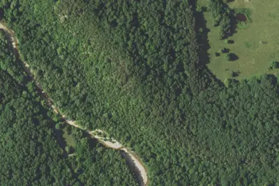
Camp site (Forest Service)
Dispersed · 0.6 mi · Licking
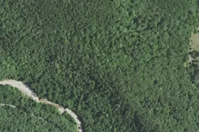
Camp site (Forest Service)
Dispersed · 0.6 mi · Licking
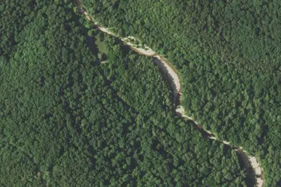
Paddy Creek Campground
Public Land · 0.7 mi · Licking
3 more within 25 mi
5 OpenStreetMap entries in Licking share one park. They may be individual sites of a single campground. Suggest a merge
Dispersed camping nearby
Free dispersed camping within 19 mi, on public land.
- 0.6 mi
Camp site (Forest Service)
Licking, MO · On U.S. Forest Service land · Mark Twain National Forest
- 0.6 mi
Camp site (Forest Service)
Licking, MO · On U.S. Forest Service land · Mark Twain National Forest
- 1.6 mi
Camp site (Forest Service)
Plato, MO · On U.S. Forest Service land · Mark Twain National Forest
- 1.9 mi
Primitive Campsite
Plato, MO · On U.S. Forest Service land · Mark Twain National Forest
- 2.0 mi
Big Piney trail primitive
Plato, MO · On U.S. Forest Service land · Mark Twain National Forest
- 3.1 mi
Forest Service
Plato, MO · On U.S. Forest Service land · Mark Twain National Forest
Location and contact
Data from OpenStreetMap, USDA Forest Service — Recreation Opportunities, USFS INFRA Recreation Sites
Something wrong here? Suggest an edit
Run this campground? Claim the listing