Sinks Canyon Campground
Lander, Wyoming · 6,883 ft
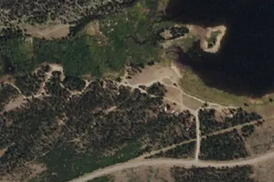
Aerial view · USGS / USDA NAIP · Public domain · source
At a glance
3 of 8 facts known · Forest Service data, checked Oct 3, 2026
- Elevation
- 6,883 ft (2,098 m)6,883 ft2,098 m
- Land
- Shoshone National Forest
U.S. Forest Service
Amenities
You could be the first camper hereYou could be the first camper on this page
Stayed here? Share what the next camper should know.
Free account · no email needed to browse
About
The Sinks Canyon Campground has 14 campsites. It is located between the Hugh Otte Camping Area and Sinks Canyon State Park, where the Popo Agie River disappears into the side of a mountain and then reappears farther down. There is nearby rock climbing on Forest Service and BLM lands. No trailers over 20 feet. Popo Agie is pronounced "puh-POE-zhuh." Amenities include one vault toilet, picnic tables, cook grates, and potable water. Stay limit is 16 days. Food and bear attractants must be stored in accord with the Shoshone tiol Forest Food Storage Order.
Fees: Overnight Use:
From OpenStreetMap, USDA Forest Service — Recreation Opportunities, and USFS INFRA Recreation Sites · · Edit
Cell service
Report signalFCC map: no coverage reported
- VerizonNo coverage on FCC map
- AT&TNo coverage on FCC map
- T-MobileNo coverage on FCC map
Cell service at Sinks Canyon Campground: FCC map Dec 2025
Weather
National Weather Service
- WedSnow Showers Likely, 64% chance of rain38°33°
- ThuPartly Sunny, 12% chance of rain42°29°
- FriSunny54°35°
- SatSunny58°36°
- SunSunny54°37°
Nearby camping
SeeSee all on the map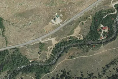
Hugh Otte Campground
Public Land · 0.7 mi · Lander
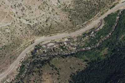
Popo Agie Campground
Campground · 0.8 mi · Lander
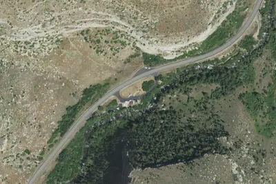
Sawmill Campground
Campground · 2.4 mi · Lander
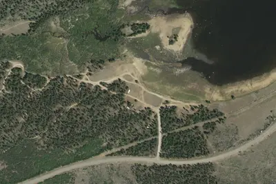
3 more within 25 mi
Location and contact
Data from OpenStreetMap, USDA Forest Service — Recreation Opportunities, USFS INFRA Recreation Sites
Something wrong here? Suggest an edit
Run this campground? Claim the listing