Simpson Springs Campground
Dugway, Utah · 5,138 ft · In Salt Lake Field Office
Photos: BLM
Photos taken nearby
From Wikimedia Commons, taken close to this campground — not necessarily pictures of it.
At a glance
5 of 8 facts known · recreation.gov, checked Oct 3, 2026
- Elevation
- 5,138 ft (1,566 m)5,138 ft1,566 m
Sites23
Simpson Springs Campground lists no loops, so its sites are listed here. Pick a site to see its details.
- 001Standard · accessible · up to 8 people90 ft
- 002Standard · accessible · up to 8 people48 ft
- 003Standard · accessible · up to 8 people48 ft
- 004Standard · up to 8 people48 ft
- 005Standard · up to 8 people48 ft
- 006Standard · up to 8 people48 ft
- 007Standard · accessible · up to 8 people70 ft
- 008Standard · accessible · up to 8 people96 ft
- 009Standard · up to 8 people32 ft
- 010Standard · accessible · up to 8 people58 ft
Showing 10 of 23 · by site number
From recreation.gov's site list, Oct 10, 2026.
Amenities
From BLM National Recreation Sites & Facilities, OpenStreetMap, Recreation.gov, Recreation.gov — campground rate cards · Correct
- Campfires allowed
- Campfires allowed
- Caravan / RV sites
- Drinking water
- Pull-through sites
- Tent sites
- Toilets
From BLM National Recreation Sites & Facilities, OpenStreetMap, Recreation.gov, Recreation.gov — campground rate cards
You could be the first camper hereYou could be the first camper on this page
Stayed here? Share what the next camper should know.
Free account · no email needed to browse
About
Overview
The campground is situated on the eastern edge of Utah's West Desert near the historic Simpson Springs station on the Pony Express National Historic Trail. Simpson Springs was the site of a significant Civilian Conservation Corps (CCC) camp in the late 1930s and early 1940s, just prior to the establishment of the US Army Dugway Proving Grounds during World War II.
Recreation
Hiking, picnicking, OHV riding, mountian biking, horseback riding, wildlife viewing, scenic backcountry byway, Pony Express National Historic Trail.
From BLM National Recreation Sites & Facilities, OpenStreetMap, Recreation.gov, and Recreation.gov — campground rate cards · · Edit
Cell service
Report signal- VerizonNo coverage on FCC map
- AT&T4G LTE
- T-MobileNo coverage on FCC map
Cell service at Simpson Springs Campground: FCC map Dec 2025
Weather
National Weather Service
- TueSlight Chance Rain Showers, 15% chance of rain45°37°
- WedMostly Sunny, 2% chance of rain51°38°
- ThuSunny58°40°
- FriSunny60°43°
- SatSunny63°45°
Nearby camping
SeeSee all on the map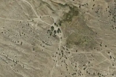
Simpson Springs Campground
Public Land · 0.1 mi · Dugway
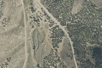
Camp site
Dispersed · 12 mi · Vernon
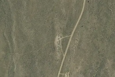
Camp site
Dispersed · 19 mi · Vernon
3 more within 25 mi
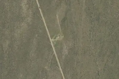
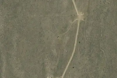
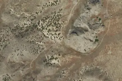
Dispersed camping nearby
Free dispersed camping within 19 mi, on public land.
Location and contact
Data from BLM National Recreation Sites & Facilities, OpenStreetMap, Recreation Information Database (RIDB) / Recreation.gov, Recreation.gov — campground rate cards
Something wrong here? Suggest an edit
Run this campground? Claim the listing