Silver Falls Group Site
Entiat, Washington · 2,405 ft · In Okanogan-Wenatchee National Forest
Photos: USFS
Inside a wildfire's outline: Little Giant, 172,912 acres, 95% contained
At a glance
4 of 8 facts known · recreation.gov, checked Sep 24, 2026
- Elevation
- 2,405 ft (733 m)2,405 ft733 m
Sites1
Silver Falls Group Site lists no loops, so its sites are listed here. Pick a site to see its details.
All 1 shown · by site number
From recreation.gov's site list, Oct 10, 2026.
Amenities
You could be the first camper hereYou could be the first camper on this page
Stayed here? Share what the next camper should know.
Free account · no email needed to browse
About
Overview
Silver Falls Group site sits in a forested, mountain terrain on the banks of the Entiat River within the Silver Falls Campground. This is one of the more popular sites on the Entiat Ranger District. The cascading water of Silver Falls is a draw for many visitors to this particular area, which is especially refreshing in the summer heat. The Silver Falls National Recreation Trail is an exceptional family friendly hike that takes you up, around and down the falls. Panoramic views of the surrounding mountains await you on your hike.
Recreation
Silver Falls Campground is a great base camp for a variety of outdoor recreational activities. Anglers enjoy casting a line into the Entiat River above Entiat Falls, about 2.5 miles up-river from the campground. Carving through a wide, U-shaped valley, the river is dominated by relatively shallow riffles interspersed with pools, plunge pools and glides where the trout fishing is quite good. Populations of rainbow, cutthroat and eastern brook trout are found in this tributary. Selective gear rules apply to fishing in the Entiat River. See Washington Department of Fish and Wildlife for fishing rules and regulations.
From Recreation.gov and Recreation.gov — campground rate cards · · Edit
Cell service
Report signalFCC map: no coverage reported
- VerizonNo coverage on FCC map
- AT&TNo coverage on FCC map
- T-MobileNo coverage on FCC map
Cell service at Silver Falls Group Site: FCC map Dec 2025
Weather
National Weather Service
- WedMostly Sunny, 5% chance of rain65°39°
- ThuMostly Sunny63°39°
- FriSunny66°49°
- SatChance Rain Showers, 29% chance of rain56°36°
- SunMostly Sunny, 5% chance of rain55°40°
Nearby camping
SeeSee all on the map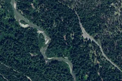
Silver Falls Campground
Public Land · 0.1 mi · Entiat
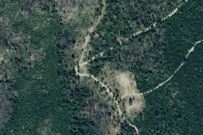
Halfway Springs
Dispersed · 1.4 mi · Entiat
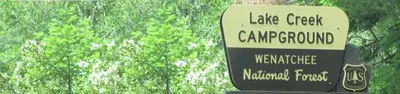
Lake Creek Campground - Entiat River
Public Land · 2.0 mi · Entiat
3 more within 25 mi
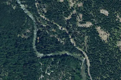
5 OpenStreetMap entries in Entiat share one park. They may be individual sites of a single campground. Suggest a merge
Dispersed camping nearby
Free dispersed camping within 19 mi, on public land.
- 1.4 mi
Halfway Springs
Entiat, WA
- 4.5 mi
Big Hill Campsite
Stehekin, WA
- 5.3 mi
Marble Creek Camp
Leavenworth-Lake Wenatchee, WA · On U.S. Forest Service land · Wenatchee National Forest
- 8.7 mi
Maverick Saddle Campground
Entiat, WA · On U.S. Forest Service land · Wenatchee National Forest
- 9.4 mi
Alder Creek Horse Camp
Leavenworth-Lake Wenatchee, WA
- 10 mi
Upper Myrtle Lake Camp
Entiat, WA · On U.S. Forest Service land · Wenatchee National Forest
Location and contact
Data from Recreation Information Database (RIDB) / Recreation.gov, Recreation.gov — campground rate cards
Something wrong here? Suggest an edit
Run this campground? Claim the listing