Seneca Shadows
Whitmer, West Virginia · 1,654 ft · In Monongahela National Forest
Photos: Andrew J. Dalton | BA Services, Inc.
At a glance
7 of 8 facts known · recreation.gov, checked Oct 3, 2026
- Elevation
- 1,654 ft (504 m)1,654 ft504 m
Loops4
Pick a loop to see its sites.
- Loop A10 sites10 standard · up to 25 ft
- Loop B15 sites15 standard · up to 25 ft
- C.13 sites13 standard · up to 90 ft
- WALK40 sites40 walk-to
Other areas
From recreation.gov's site list, Oct 10, 2026. Loop names are trimmed and merged.
Amenities
From OpenStreetMap, Overture Maps Foundation — Places, Recreation.gov, Recreation.gov — campground rate cards, USDA Forest Service — Recreation Opportunities, USFS INFRA Recreation Sites · Correct
- ADA accessible
- Campfires allowed
From OpenStreetMap, Overture Maps Foundation — Places, Recreation.gov, Recreation.gov — campground rate cards, USDA Forest Service — Recreation Opportunities, USFS INFRA Recreation Sites
You could be the first camper hereYou could be the first camper on this page
Stayed here? Share what the next camper should know.
Free account · no email needed to browse
About
Overview
The Seneca Shadows Campground overlooks Seneca Rocks and is surrounded by mountains on both the east and west. Hiking and nature study at Seneca Rocks are just a couple of the popular activities in the area. The North Fork South Branch Potomac River is nearby, making fishing a popular pastime. Seneca Shadows Campground is comprised of 11 standard camping units with electric hookups, 2 double camping units with electric hookups, 23 standard camping units without electric, 2 double camping units without electric, 40 walk-in camp sites and 3 group tent sites with drinking water, fire rings, lantern posts, picnic tables and paved spurs (standard camping units). In addition, there are two developed host sites equipped with electrical, water, and sewage hookups as well as an outdoor amphitheater that features lighting, sound equipment, and seating.
The campground contains two four-toilet vault restrooms, one double-toilet vault restroom, and four multiple-toilet flush restrooms with showers. There are trash dumpsters located throughout Seneca Shadows Campground for garbage collection and disposal.
From OpenStreetMap, Overture Maps Foundation — Places, Recreation.gov, Recreation.gov — campground rate cards, USDA Forest Service — Recreation Opportunities, and USFS INFRA Recreation Sites · · Edit
Cell service
Report signalFCC map: no coverage reported
- VerizonNo coverage on FCC map
- AT&TNo coverage on FCC map
- T-MobileNo coverage on FCC map
Cell service at Seneca Shadows: FCC map Dec 2025
Weather
National Weather Service
- WedSunny, 5% chance of rain81°63°
- ThuRain Showers, 92% chance of rain68°63°
- FriRain Showers, 83% chance of rain72°38°
- SatSlight Chance Rain Showers then Mostly Sunny, 20% chance of rain48°31°
- SunSunny60°40°
Nearby camping
SeeSee all on the map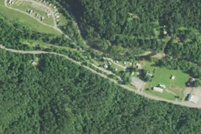
Seneca Rocks RV Resort
RV Park · 1.0 mi · Whitmer
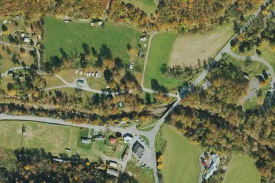
Princess Snowbird Campground
Campground · 1.1 mi · Whitmer
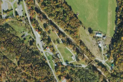
Yokum's Campground
Campground · 1.7 mi · Whitmer
3 more within 25 mi
Dispersed camping nearby
Free dispersed camping within 19 mi, on public land.
- 7.5 mi
Camp site
Whitmer, WV · On U.S. Forest Service land · Monongahela National Forest
- 7.5 mi
Camp site
Whitmer, WV · On U.S. Forest Service land · Monongahela National Forest
- 7.5 mi
Camp site
Whitmer, WV · On U.S. Forest Service land · Monongahela National Forest
- 7.6 mi
Camp site
Whitmer, WV · On U.S. Forest Service land · Monongahela National Forest
- 7.6 mi
Camp site
Whitmer, WV · On U.S. Forest Service land · Monongahela National Forest
- 7.7 mi
Camp site
Whitmer, WV · On U.S. Forest Service land · Monongahela National Forest
Location and contact
Data from OpenStreetMap, Overture Maps Foundation — Places, Recreation Information Database (RIDB) / Recreation.gov, Recreation.gov — campground rate cards, USDA Forest Service — Recreation Opportunities, USFS INFRA Recreation Sites
Something wrong here? Suggest an edit
Run this campground? Claim the listing