Sand Island Recreation Area
Bluff, Utah · 4,295 ft · In Bears Ears National Monument
Photos: Bob Wick/BLM
At a glance
4 of 8 facts known · recreation.gov, checked Sep 24, 2026
- Elevation
- 4,295 ft (1,309 m)4,295 ft1,309 m
Sites23
Sand Island Recreation Area lists no loops, so its sites are listed here. Pick a site to see its details.
From recreation.gov's site list, Oct 10, 2026.
Amenities
From BLM National Recreation Sites & Facilities, OpenStreetMap, Overture Maps Foundation — Places, Recreation.gov, Recreation.gov — campground rate cards · Correct
- Campfires allowed
From BLM National Recreation Sites & Facilities, OpenStreetMap, Overture Maps Foundation — Places, Recreation.gov, Recreation.gov — campground rate cards
You could be the first camper hereYou could be the first camper on this page
Stayed here? Share what the next camper should know.
Free account · no email needed to browse
About
Overview
Sand Island Recreation Area is a good camping option for visitors launching San Juan River float trips, or wishing to camp close to the town of Bluff or the Cedar Mesa area of Bears Ears National Monument. The campground provides 21 campsites that each feature a tent/trailer space, a picnic table, a fire ring, and vault toilets. Drinking water is available seasonally (typically March through October). Each campsite can hold 8 people and 2 vehicles. Reservations are not available for camping at this location. Individual campsites are available on a first come, first served basis upon arrival at the self-register kiosk at the site. The Sand Island Group Sites are available for larger groups, and may be reserved here.
Recreation
Sand Island is the primary launch point for multi-day San Juan River float trips. San Juan River trips provide boaters with access to spectacular canyons rich in scenery, geology, archeology, history and wildlife. A river permit is required in advance. The Sand Island Petroglyph Panel site is located on the sandstone walls on the north side of the recreation area. There are many nearby hiking and scenic driving opportuites in the Cedar Mesa area of Bears Ears National Monument.
From BLM National Recreation Sites & Facilities, OpenStreetMap, Overture Maps Foundation — Places, Recreation.gov, and Recreation.gov — campground rate cards · · Edit
Cell service
Report signal- Verizon4G LTE
- AT&T4G LTE
- T-MobileNo coverage on FCC map
Cell service at Sand Island Recreation Area: FCC map Dec 2025
Weather
National Weather Service
- WedShowers And Thunderstorms Likely, 56% chance of rain58°39°
- ThuPatchy Fog then Sunny, 1% chance of rain68°43°
- FriSunny67°44°
- SatMostly Sunny, 10% chance of rain62°45°
- SunMostly Sunny, 7% chance of rain66°44°
Nearby camping
SeeSee all on the map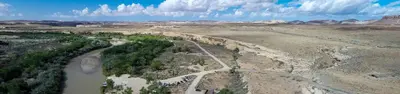
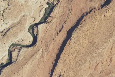
Sand Island Group Sites
Public Land · 0.1 mi · Bluff
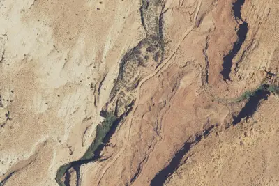
Lower Butler Wash Camp
Dispersed · 2.2 mi · Bluff
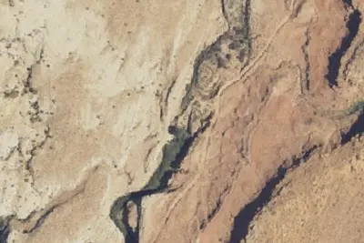
Camp site
Campground · 2.4 mi · Bluff
3 more within 25 mi
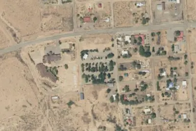
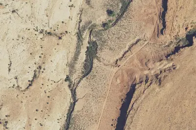
4 OpenStreetMap entries in Bluff share one park. They may be individual sites of a single campground. Suggest a merge
Dispersed camping nearby
Free dispersed camping within 19 mi, on public land.
- 2.2 mi
Lower Butler Wash Camp
Bluff, UT · On Bureau of Land Management land · Monticello Field Office
- 2.4 mi
Camp site
Bluff, UT · On Bureau of Land Management land · Monticello Field Office
- 2.6 mi
Camp site
Bluff, UT · On Bureau of Land Management land · Monticello Field Office
- 3.2 mi
Camp site
Bluff, UT · On Bureau of Land Management land · Monticello Field Office
- 3.2 mi
Camp site
Bluff, UT · On Bureau of Land Management land · Monticello Field Office
- 3.5 mi
Camp site
Bluff, UT · On Bureau of Land Management land · Monticello Field Office
Location and contact
Data from BLM National Recreation Sites & Facilities, OpenStreetMap, Overture Maps Foundation — Places, Recreation Information Database (RIDB) / Recreation.gov, Recreation.gov — campground rate cards
Something wrong here? Suggest an edit
Run this campground? Claim the listing