San Rafael Swinging Bridge Campground
Green River, Utah · 5,125 ft
Photos: Jaydon Mead, BLM Price Field Office
Wildfire 44 mi NE: Slough Canyon, 4,774 acres, 80% contained
At a glance
4 of 8 facts known · recreation.gov, checked Sep 24, 2026
- Elevation
- 5,125 ft (1,562 m)5,125 ft1,562 m
Loops2
Pick a loop to see its sites.
Other areas
From recreation.gov's site list, Oct 10, 2026: 1 staff entry left out. Loop names are trimmed and merged.
How we name loops
“Scan & Pay” is a staff entry, not a campsite, and is left out.
Amenities
From BLM National Recreation Sites & Facilities, Recreation.gov, Recreation.gov — campground rate cards · Correct
- Campfires allowed
From BLM National Recreation Sites & Facilities, Recreation.gov, Recreation.gov — campground rate cards
You could be the first camper hereYou could be the first camper on this page
Stayed here? Share what the next camper should know.
Free account · no email needed to browse
About
Overview
These campgrounds are located just outside the South end of Buckhorn Draw where Buckhorn Wash converges with the San Rafael River. Uniquely in the heart of the Northern San Rafael Swell and part of the San Rafael Recreation Area. The San Rafael River is adjacent to these campgrounds and separates Swinging Bridge North and the Equestrian Campground from Swinging Bridge South. The historic San Rafael Swinging Bridge, Utah's oldest intact suspension bridge, a 160-foot-long suspension bridge built by the Civilian Conservation Corps in 1937 was once the only bridge over the San Rafael River and used until 1990 when the bridge next to it was constructed.
There are three different campground loops at this location: Swinging Bridge North, the Equestrian Loop and Swinging Bridge South. All three loops have tent pads, picnic tables, toilets, parking areas and fire rings.
From BLM National Recreation Sites & Facilities, Recreation.gov, and Recreation.gov — campground rate cards · · Edit
Cell service
Report signalFCC map: no coverage reported
- VerizonNo coverage on FCC map
- AT&TNo coverage on FCC map
- T-MobileNo coverage on FCC map
Cell service at San Rafael Swinging Bridge Campground: FCC map Dec 2025
Weather
National Weather Service
- WedChance Rain Showers, 64% chance of rain50°37°
- ThuSunny, 3% chance of rain55°36°
- FriSunny57°39°
- SatMostly Sunny57°40°
- SunSunny59°42°
Nearby camping
SeeSee all on the map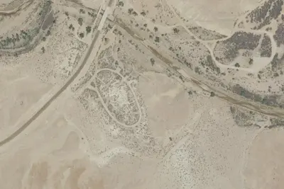
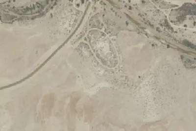
Swinging Bridge South Campground
Public Land · 190 ft · Green River
Unit 4
Campground · 390 ft · Green River
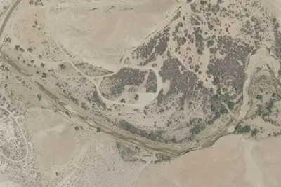
Equestrian Campground
Public Land · 0.2 mi · Green River
3 more within 25 mi
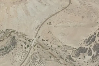
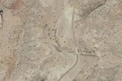
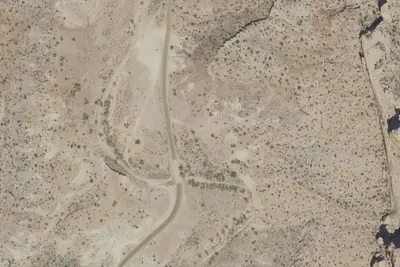
6 OpenStreetMap entries in Green River share one park. They may be individual sites of a single campground. Suggest a merge
Dispersed camping nearby
Free dispersed camping within 19 mi, on public land.
- 12 mi
Camp site
Green River, UT · On State agency land · The State of Utah School and Institutional Trust Lands Administration 2403
- 13 mi
Camp site
Green River, UT · On Bureau of Land Management land · Price Field Office
- 13 mi
Camp site
Green River, UT · On Bureau of Land Management land · Price Field Office
- 13 mi
Camp site
Green River, UT · On Bureau of Land Management land · Price Field Office
- 13 mi
Camp site
Green River, UT · On Bureau of Land Management land · Price Field Office
- 13 mi
Camp site
Green River, UT · On Bureau of Land Management land · Price Field Office
Location and contact
Data from BLM National Recreation Sites & Facilities, Recreation Information Database (RIDB) / Recreation.gov, Recreation.gov — campground rate cards
Something wrong here? Suggest an edit
Run this campground? Claim the listing