Salt Lick Creek
Gainesboro, Tennessee · 548 ft · In Cordell Hull Recreation Area
Photos: USACE
At a glance
6 of 8 facts known · recreation.gov, checked Sep 24, 2026
- Elevation
- 548 ft (167 m)548 ft167 m
Loops4
Pick a loop to see its sites.
From recreation.gov's site list, Oct 10, 2026: 5 staff entries left out. Loop names are trimmed and merged.
Other campgrounds in Cordell Hull Recreation Area 6
Nearest first. Every place inside the park's boundary.
- Salt Lick CampgroundFee charged470 ft
- Wartrace Ck Rec Area$50 a night · partial hookups · Reserve on Recreation.gov2.8 mi
- Granville Recreation Area / Indian Creek CampgroundCampground · facts not yet known5.7 mi
- Defeated Creek Park4 loops · DCRP, HILL, HONE, LAKE · $25–$36 a night · full hookups · Reserve on Recreation.gov7.0 mi
- Tailwater Rec Area$50 a night · partial hookups · Reserve on Recreation.gov8.8 mi
- Roaring River Park$50 a night · partial hookups · Reserve on Recreation.gov9.6 mi
Also in the park: 1 backcountry camp
Open the park pageAmenities
From Overture Maps Foundation — Places, Recreation.gov, Recreation.gov — campground rate cards · Correct
- Campfires allowed
- Drinking water
From Overture Maps Foundation — Places, Recreation.gov, Recreation.gov — campground rate cards
You could be the first camper hereYou could be the first camper on this page
Stayed here? Share what the next camper should know.
Free account · no email needed to browse
About
Overview
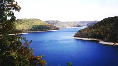
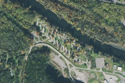
Salt Lick Creek Campground is located on Cordell Hull Lake on the Cumberland River System, just 10 miles from Gainesboro, TN. The lake itself was named after one of America's outstanding statesmen and one of Tennessee's finest volunteers. Hull was born in a log cabin in the foothills of the Cumberland Mountains.
Families and friends enjoy coming to the lake for boating, fishing, swimming, hiking, hunting, and relaxing in the outdoors.Click here for a virtual tour of the Cordell Hull Lake facilities.Recreation
From Overture Maps Foundation — Places, Recreation.gov, and Recreation.gov — campground rate cards · · Edit
Cell service
Report signalFCC map: no coverage reported
- VerizonNo coverage on FCC map
- AT&TNo coverage on FCC map
- T-MobileNo coverage on FCC map
Cell service at Salt Lick Creek: FCC map Dec 2025
Weather
National Weather Service
- WedMostly Sunny, 8% chance of rain88°67°
- ThuSlight Chance Rain Showers then Sunny, 15% chance of rain88°63°
- FriMostly Sunny, 5% chance of rain71°42°
- SatSunny61°39°
- SunSunny68°43°
Nearby camping
SeeSee all on the mapOutside the park, nearest first.
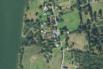
RV park
RV Park · 3.7 mi · Carthage
Walmart · Carthage
Overnight Parking · 9.9 mi · Carthage
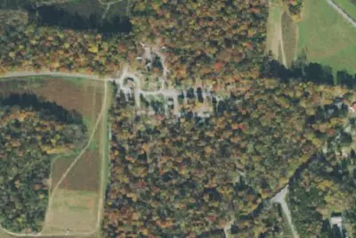
Old Mill Campground
Campground · 14 mi · Dodson Branch
3 more within 25 mi
Dispersed camping nearby
Free dispersed camping within 19 mi, on public land.
Location and contact
Data from Overture Maps Foundation — Places, Recreation Information Database (RIDB) / Recreation.gov, Recreation.gov — campground rate cards
Something wrong here? Suggest an edit
Run this campground? Claim the listing