Roman Nose Lower Lake (3)
Bonners Ferry, Idaho · 5,902 ft
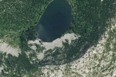
Aerial view · USGS / USDA NAIP · Public domain · source
Wildfire 2.4 mi W: Silver, 2,593 acres, 30% contained
At a glance
3 of 8 facts known · Forest Service data, checked Oct 3, 2026
- Elevation
- 5,902 ft (1,799 m)5,902 ft1,799 m
- Land
- Kaniksu National Forest
U.S. Forest Service
Amenities
You could be the first camper hereYou could be the first camper on this page
Stayed here? Share what the next camper should know.
Free account · no email needed to browse
About
ROMAN NOSE LOWER LAKE (3) (Camping Area)
From USFS INFRA Recreation Sites · Edit
Cell service
Report signalFCC map: no coverage reported
- VerizonNo coverage on FCC map
- AT&TNo coverage on FCC map
- T-MobileNo coverage on FCC map
Cell service at Roman Nose Lower Lake (3): FCC map Sep 2026
Weather
National Weather Service
- ThuSunny50°36°
- FriMostly Sunny54°40°
- SatMostly Sunny, 2% chance of rain49°32°
- SunMostly Sunny45°36°
- MonPartly Sunny then Slight Chance Rain Showers, 15% chance of rain47°36°
Nearby camping
SeeSee all on the map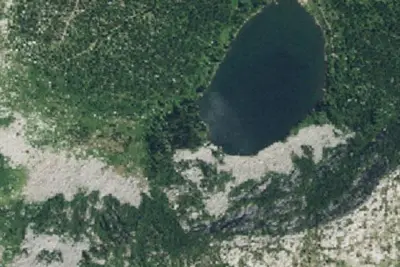
Roman Nose Lower Lake (3)
Dispersed · 140 ft · Bonners Ferry
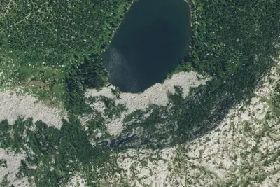
Roman Nose Lower Lake (3)
Dispersed · 230 ft · Bonners Ferry
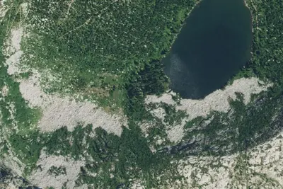
Roman Nose Lower Lake (3)
Dispersed · 260 ft · Bonners Ferry
3 more within 25 mi
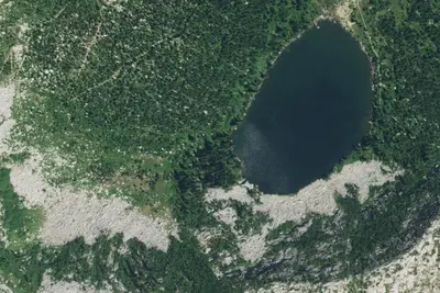
Nearby
The closest of each, in a straight line from here.
Location and contact
Something wrong here? Suggest an edit
Run this campground? Claim the listing