River Bridge Campground
Prospect, Oregon · 2,835 ft
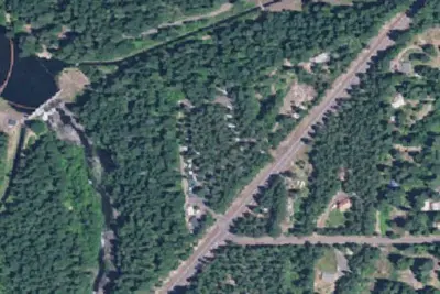
Aerial view · USGS / USDA NAIP · Public domain · source
At a glance
4 of 8 facts known · Forest Service data, checked Oct 3, 2026
- Elevation
- 2,835 ft (864 m)2,835 ft864 m
- Land
- Rogue River National Forest
U.S. Forest Service
Amenities
You could be the first camper hereYou could be the first camper on this page
Stayed here? Share what the next camper should know.
Free account · no email needed to browse
About
River Bridge is very small campground with limited facilities, but generous site spacing and excellent river access within walking distance. Massive; Douglas-firs provide ample shade for the campsites, which is; pleasant in the heat of the summer, and privacy between; most sites is provided by other vegetation. The river is wide, with several sandy areas that offer a place to sit and relax by the river. Access to an extensive OHV trail system is nearby. The entrance to Crater Lake tiol Park is approximately 6 miles away, making this a great place to camp if you 're interested in doing a day trip to the park. Additiol day trips include the Rogue-Umpqua Scenic Byway with its waterfalls, and the Rogue Gorge.Facilities11 campsites with picnic tables, and fire pits no drinking water2 vault toilets no garbage disposal - Please pack it out
Fees: Overnight Use:
From OpenStreetMap, USDA Forest Service — Recreation Opportunities, and USFS INFRA Recreation Sites · · Edit
Cell service
Report signalFCC map: no coverage reported
- VerizonNo coverage on FCC map
- AT&TNo coverage on FCC map
- T-MobileNo coverage on FCC map
Cell service at River Bridge Campground: FCC map Dec 2025
Weather
National Weather Service
- WedSunny, 2% chance of rain72°42°
- ThuSunny79°42°
- FriSunny83°41°
- SatSunny, 2% chance of rain68°36°
- SunSunny, 3% chance of rain65°35°
Nearby camping
SeeSee all on the map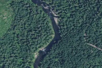
Rogue River Campsite #1
Campground · 0.4 mi · Prospect
Mill Creek Campground
Public Land · 2.3 mi · Prospect
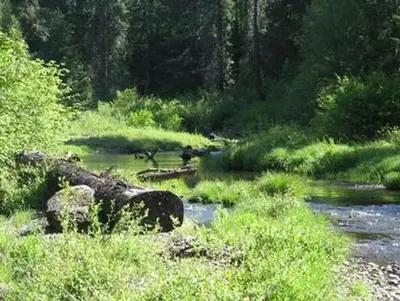
Jim Creek Group Campground
Public Land · 3.1 mi · Prospect
3 more within 25 mi
4 OpenStreetMap entries in Prospect share one park. They may be individual sites of a single campground. Suggest a merge
Dispersed camping nearby
Free dispersed camping within 19 mi, on public land.
Location and contact
Data from OpenStreetMap, USDA Forest Service — Recreation Opportunities, USFS INFRA Recreation Sites
Something wrong here? Suggest an edit
Run this campground? Claim the listing