Ring Mill Campground
Graysville, Ohio · 692 ft
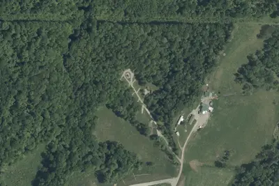
Aerial view · USGS / USDA NAIP · Public domain · source
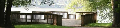
Photos taken nearby
From Wikimedia Commons, taken close to this campground — not necessarily pictures of it.
At a glance
3 of 8 facts known · Forest Service data, checked Oct 3, 2026
- Elevation
- 692 ft (211 m)692 ft211 m
- Land
- Wayne National Forest
U.S. Forest Service
Amenities
You could be the first camper hereYou could be the first camper on this page
Stayed here? Share what the next camper should know.
Free account · no email needed to browse
About
This was once the site of a mill and farmstead. The mill is now gone, but the stone house of its original owner, built in 1846, is still located at the site. The house is on the National Register of Historic Places. It has three campsites and a picnic shelter, and is also a canoe access point and near the North Country Trail.
Fees: Overnight Use:
From OpenStreetMap, USDA Forest Service — Recreation Opportunities, and USFS INFRA Recreation Sites · · Edit
Cell service
Report signalFCC map: no coverage reported
- VerizonNo coverage on FCC map
- AT&TNo coverage on FCC map
- T-MobileNo coverage on FCC map
Cell service at Ring Mill Campground: FCC map Dec 2025
Weather
National Weather Service
- WedMostly Sunny then Showers And Thunderstorms Likely, 56% chance of rain80°58°
- ThuShowers And Thunderstorms Likely, 59% chance of rain73°64°
- FriRain Showers, 88% chance of rain68°39°
- SatMostly Sunny, 5% chance of rain54°33°
- SunSunny63°39°
Nearby camping
SeeSee all on the map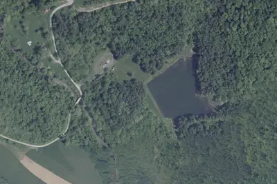
Lamping Homestead Recreation Area
Public Land · 4.0 mi · Graysville
Camp site
Campground · 6.8 mi · Sistersville
Paden City Park Campground
Campground · 9.5 mi · Paden City
3 more within 25 mi
3 OpenStreetMap entries in Graysville share one park. They may be individual sites of a single campground. Suggest a merge
Location and contact
Data from OpenStreetMap, USDA Forest Service — Recreation Opportunities, USFS INFRA Recreation Sites
Something wrong here? Suggest an edit
Run this campground? Claim the listing